Waterfall Maps

These maps were all generated with my own software and data from the ESRI Base World Map, the Census 2000 Tiger/Line Data, the National Atlas of the United States, Brainy Geography, the Geographical Names of Canada and other sources.

Maps

Waterfall Map of USA
USA
Waterfall Map of Canada
Canada
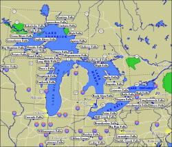
Waterfall Map of the Great Lakes
Great Lakes
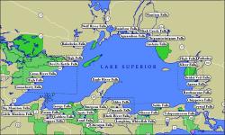
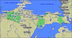
Waterfall Map of Lake Superior
Lake Superior
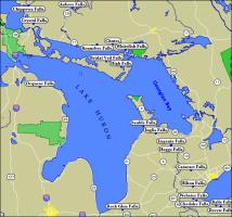
Waterfall Map of Lake Huron
Lake Huron
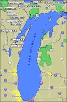
Waterfall Map of Lake Michigan
Lake Michigan
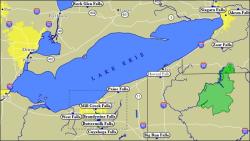
Waterfall Map of Lake Erie
Lake Erie
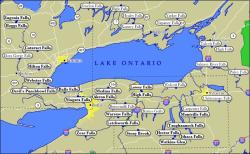
Waterfall Map of Lake Ontario
Lake Ontario
Waterfall Map of Michigan
Michigan
Waterfall Map of Ontario
Ontario

More Static Maps

  • Alger County WaterFalls
  • Ashland County, Iron County & Gogebic County WaterFalls
  • Cleveland Area WaterFalls
  • Finger Lakes
  • Great Lakes Region : Google Maps
  • Hamilton Ontario Area
  • Hocking Hills State Park
  • Indiana WaterFalls
  • Kentucky WaterFalls
  • Lake Cayuga and Lake Seneca Area WaterFalls
  • Lake Superior Provincial Park WaterFalls
  • Marquette and Baraga County WaterFalls
  • Minnesota WaterFalls
  • Minnesota's North Shore Waterfalls
  • Munising WaterFalls
  • New York WaterFalls
  • Niagara Escarpment Waterfalls
  • Ohio WaterFalls
  • Oregon WaterFalls
  • Pennsylvania WaterFalls
  • Porcupine Mountains
  • Southern Ontario WaterFalls
  • Tennessee WaterFalls
  • WaterFalls in Muskoka
  • WaterFalls in Ontario's Near North
  • WaterFalls in Yellowstone National Park
  • WaterFalls on Tennessee's Cumberland Plateau
  • West Virginia WaterFalls
  • Wisconsin WaterFalls
  • Wyoming WaterFalls

  • This page has been accessed 835778 times.
    Last Modified: Thursday, 22-Jun-2017 21:05:01 MDT.