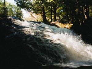
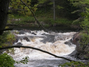
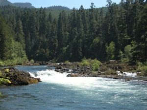
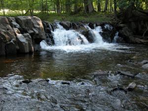
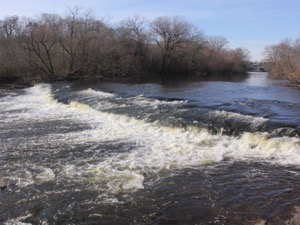
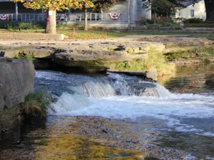
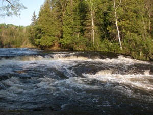
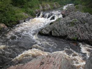
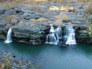
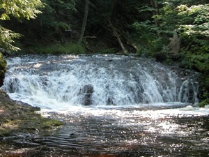
This is a list of minor waterfalls that I have visited. These falls do not get a page of their own because they are either relatively small, isolated, difficult to get to, and/or not overly photogenic. There is no exact science to this. Some of these falls are nice secluded hang outs for the locals, and I am sure that each of these waterfalls is someone's favorite waterfall in all the world, but you have to be more than a little obsessive to go seeking them all out. Another reason for listing many of these falls is that they show up as names in web searches or on maps with little or no additional information. Hopefully this page will let you make a more informed decision about trying to visit these waterfalls.
| [A-B] | [C-G] | [H-L] | [M-O] | [P-S] | [T-Z] |
39.854N 79.488W Cascade Waterfalls
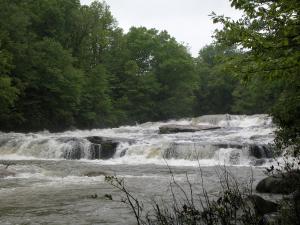
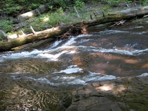
Ohiopyle State Park's Cascade Waterfalls is located on Meadow Run. Here the stream descends around a total of 10 feet in a series of small drops. It had been raining heavily the days prior to when the pictures were taken. Normally Meadow Run is a much tamer stream and the cascades are much less impressive looking. The trailhead to the Cascades is located near the park office. It is about a 1/2 mile walk to the falls.
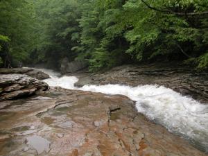
Right along route 381 downstream of the Cascade Waterfalls you will find the natural waterslides. Here Meadow Run twists through a section of smooth and slippery rock and people join it for the ride. Of course if the water is too high, as it is in the pictures, this would likely be fatal, but later in the summer it is a fun ride. There is a parking area for the Slides right off of 381.
46.2565N 82.978W Cataract Falls
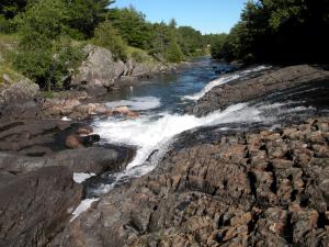
Cataract Falls is north of Blind River Ontario, right along Rte 557 which intersects with Hwy 17 in Blind River. The waterfall is only about 6 feet high. There is a lot of rock to climb around on and a natural whirlpool downstream that you can float around in. A sign on the bridge labels this as the Cataract River, but some sources say the falls is on the Blind River. The falls are close to where the river flows into Lake Duborne. The Blind River flows out of Lake Duborne.
46.1336N 88.454W Chicagon Falls
This waterfall is a few miles outside of Crystal Falls MI (the falls Crystal Falls was named for has been destroyed by a dam). The falls is near Bewabic State Park and you may be able to get directions from the park. I am unclear on whether or not the falls is open to the public. I visited it in 2001, and as far as I know it was okay to do so then. There seems to be some question about the path people commonly took to the falls trespassing on someone's private property. To play it safe I will not give any directions to the falls. Besides I am not sure I really remember how I got there. Here is some help from MapQuest. You can ask the locals for more information.
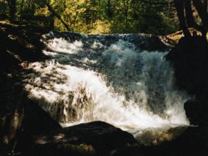
The falls is about 15 to 20 feet high in a very shady spot, making it a challenging one to photograph. I was not real pleased with any of the pictures. There are lots of interesting trees and rocks around the falls. You can climb out on the rocks at the base of the falls.
44.787N 79.223W Coopers Falls
Coopers Falls is a decent sized drop on the Black River in the town of Coopers Falls. Unfortunately the land all around the falls is private, so you cannot get close to it on foot. The only view available is from the side of Route 6, aka Coopers Falls Road, as it winds its way through town. You can see the falls from the road if you are driving east. There is no room to pull over right by the falls, but there is some space a bit farther down the road. You can walk back to take a picture. Be careful. The road is steep and curved sharply.
43.33N 123.001W Deadline Falls
Deadline Falls is a low wide drop on the North Umpqua River. The falls is only 12' high, but it is 75' wide. It is the largest of several drops on the river. The falls is easy to visit, being alongside Route 138. Route 138 leads on to many much more impressive falls, such as Watson Falls. Salmon can often be seen jumping Deadline Falls.
46.8065N 88.0871W Eric's Falls
Eric's Falls is located on the West Branch of the Huron River east of Skanee. This, like Big Eric's Falls further downstream, is named for Eric Erickson. This is a small falls, with a drop of at most 5 feet. The falls is easy to reach, if a bit out of the way. Take Black Creek Road south from Skanee Road for about 3 miles. Take a left. The road should immediately cross a bridge. The falls is just below the bridge. There is a larger falls downstream (West Branch Falls) but it is on private property. Big Falls is also nearby.
43.099N 87.908W Estabrook Falls
Estabrook Falls is a small drop of a few feet on the 100+ foot wide Milwaukee River located in Estabrook Park. I do not think this is the official name of the falls. The falls is located just below the Estabrook Beer Garden, so in the summer time you can grab a beer before seeing the falls. Be careful, the stairs down to the falls are steep. Or as the sign at the top of the stairs says 'Achtung Sturzgefahr'.
46.733N 89.885W Explorers Falls
Explorers Falls is a small waterfall on the Little Carp River downstream of Trappers Falls. It is so small that I am not even sure that this is a picture of Explorers Falls. This is a picture of a rapids between Trappers Falls and Traders Falls in roughly the vicinity of where Explorers Falls is supposed to be, but the real Explorers Falls may be another rapids. This is over 3 miles from the nearest trailhead. The hike along the Little Carp River is quite scenic, but Explorers Falls is not one of the highlights.
35.190N 85.282W Falling Water Falls
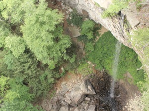
Falling Water Falls ia a 110' plunge falls located in the Cumberland Plateau above Chattanooga Tennessee. The falls and the gorge below are part of the Falling Water Falls Natural Area. The falls can be accessed most easily from above, but it hard to get a good view of the falls. There are no barriers here, and the drop is severe. There is a small parking area off of Forest Park Drive on the top of the escarpment. A short hike leads to the falls.
It is possible to access the falls from below, but it requires a bushwack up the creek, and there is no official parking.
40.006N 85.7438W Falls Park Falls
44.826N 78.562W Furnace Falls
Furnace Falls is a small but scenic drop on the Irondale River. The falls is only a meter or two high, and is better described as a rapids. There is a roadside park next to the falls, making it very easy to visit.
The falls is located next to Route 503. There is also a town named Furnace Falls, about a kilometer to the south. The town is not on Route 503, so if you drive through town you will not see the falls.
The falls faces west and is especially pretty near sunset.
46.43N 90.2275W Gile Falls
This small waterfall southwest of Hurley Wisconsin in the town of Gile is on the West Branch of the Montreal River. There are two main drops here with a sharp curve between them. The total drop is listed at 15 feet.
Gile Falls is off of 77 west of Hurley. To reach the falls park at the fire station off of 77. In the southeast corner of the parking lot there is a hiking/cross country ski trail. Follow this trail and it will take you to a bridge just above the falls. This trail skirts one of the impressive man made hills here. The hills were created during the mining era.
Some directions tell you to take Kokogan Street to Gile Falls Street. However there are signs posted here saying the trails are closed and large piles of deadwood block the trails.
35.805N 85.630W Great Falls
The Great Falls on the Caney Fork has been severely altered by the Great Falls Dam. The Caney Fork River is one of the major tributaries of the Cumberland River, and carries a lot of water. It is unclear what the falls looked like before the dam was built. The rocky and mostly dry river bed is several hundred feet wide. There are a couple of spots where the little water that still flows drops about 20 feet. I do not know if larger drops existed behind the dam. Originally this was probably a large and fierce cascade.
There is an overlook and trails that will take you down to the river bed. From the looks of it, the river still runs high once in awhile, so keep an ear out for sirens.
The construction of the Great Falls Dam resulted in the accidental creation of Twin Falls, which can easily be seen from Great Falls. You can walk down the river bed towards the falls, but the outflow from the power house will prevent you from reaching the falls.
Like many large historical falls, Great Falls shows up on maps.
46.724N 89.831W Greenstone Falls
Greenstone Falls is a small scenic falls on the Little Carp River. The falls is about 20' wide, and less than 10' high. This is the most easily reached of the "backcountry" falls in Porcupine Mountains State Park, being about 1/2 mile from the trailhead. The trailhead to the falls is at the end of Little Carp River road. If you continue on the trail for another 2+ miles you will reach the much larger Trappers Falls.
| [A-B] | [C-G] | [H-L] | [M-O] | [P-S] | [T-Z] |
This page has been accessed
14665 times.
Last Modified:
Monday, 06-Aug-2018 19:45:40 MDT.


