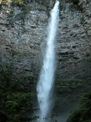
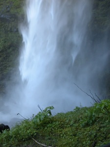
Watson Falls is located in a waterfall rich section of the Umpqua National Forest. Watson Creek plunges 272 feet into an ampitheature carved out of columnar rock and then tumbles down a long noisy cascade a couple of hundred more feet.
Watson Falls is located at milepost 60.5 on Hwy 138. Turn south on to Road 37. The parking lot is on the right. The top of the falls is visible from the parking lot. The trail to the falls crosses the road and then climbs up along the cascade. The trail is .4 miles long and ascends 200 feet or so. The trail crosses the creek near the top of the cascade, providing a nice view of the falls. The trail continues climbing and ends above the base of the falls.
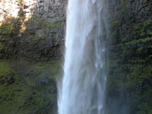
This is a powerful waterfall and produces a lot of spray. You are likely going to get wet if you get close.
Nearby Falls
There are a lot of waterfalls in this area. The nearest is 120 foot Toketee Falls on the North Umpqua River, which is less than 3 miles away. Unfortunately when I visited in June 2008 the Toketee Falls trail was closed due to extensive storm damage. Susan Creek Falls, Fall Creek Falls, and some smaller falls are along 138 to the west. Warm Spring Falls, Lemolo Falls and more are to the east. You could spend several days in the area looking at waterfalls.
Photo Gallery
 |
 |
 |
 |
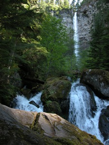
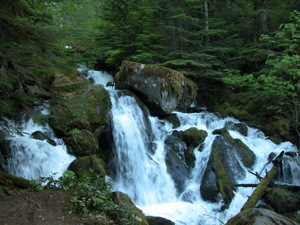 Part of the cascades |
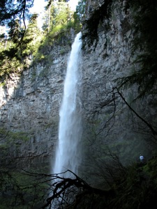
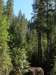 View from parking lot |
This page has been accessed
36343 times.
Last Modified:
Sunday, 20-Sep-2009 01:01:51 MDT.


