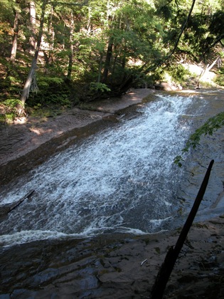
Trappers Falls is the largest of the many falls and rapids on the Little Carp River. The falls is a long gentle slide that is inclined at most 30 degrees. Like many slides, when viewed from below it appears steeper, but when seen from the side its true nature is revealed. The river spreads out as it slides down the rock face and the width of the falls will vary wildly with the water levels.
Trappers Falls is located along the Little Carp River trail, about three miles from the trailhead. The trail crosses the river a short distance above the falls. This requires a careful rock hop or wading across the river. The Little Carp River trail is part of the North Country Trail.
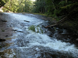
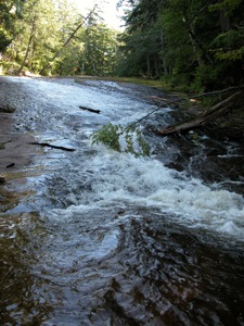
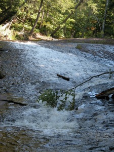
Trappers Falls is often confused with Explorers Falls. Maps place Explorers Falls a short distance downstream of Trappers Falls. I did not see any particularly notable rapids or falls below Trappers Falls. I was not actively looking for Explorer Falls (it is not on the park map), and I was nearing the end of a 14 mile hike and was getting tired, but I am sure I would have spotted anything significant. I did take a picture of a rapids that was roughly where Explorers Falls is supposed to be, but I did not have my GPS on at the moment to verify the location.
[Lake Superior] Nearby Falls
The much smaller Explorers Falls and Traders Falls are downstream. Overlooked Falls and Greenstone Falls are upstream near the trailhead. Shining Cloud Falls is about a 5 mile hike from Trappers. The larger and much more easily visited Manabezho Falls and the other Presque Isle River Falls are also in Porcupine Mountains State Park.
Photo Gallery
 |
 |
 |
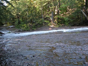 Side View |
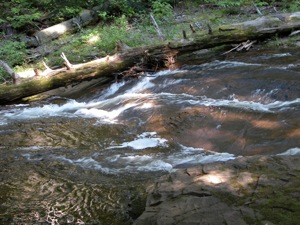 Explorers Falls? |
|
This page has been accessed
50704 times.
Last Modified:
Monday, 03-Jul-2017 23:41:12 MDT.


