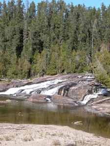
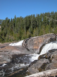
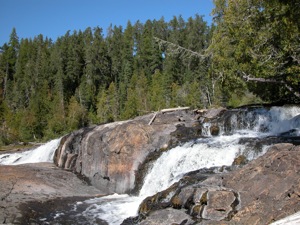
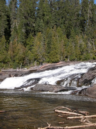
Middle Falls is a pair of falls on the Pic River. The falls are quite remote and reaching them takes a bit of effort. Trails will take you to the lower drop, which is the larger of the two. You have to bushwhack to see the upper drop. I did not see any obvious way to the upper falls, and the terrain is challenging.
There are high sand banks below the falls and a large sand bar below the falls. There is also lots of remnants from the logging days. Old broken up bits of logs litter the river around the falls.
To reach the falls from Manitouwadge, you first need to drive about 60km on the rough Industrial Road. This is a wide, crushed gravel road, which has many hills and rough spots, and sees a lot of large truck traffic. On the plus side, the signage for the falls is very good. After 60km you have to leave the main road and get on a rough two track and go an additional 8km to the falls. A part of this can be covered by a truck, but most of it has to be hiked or biked. Keep following the main trail until it ends. From there follow a foot path to the left down to the falls. This trail is a bit overgrown. Once you get down to the river, just head downstream to the lower drop. You are on your own for reaching the upper drop.
[Lake Superior] Nearby Falls
The much larger High Falls is a few kilometers upstream. Manitou Falls is further downstream. You will pass the road to this falls on your way from Manitouwadge to High Falls. You will also pass the road to Twin Falls on the Kagiano River, a tributary of the Pic River. A dam has already been built here, but the falls are still flowing, even if not like they once did. There are also the much harder to reach Nama Falls, Four Bay Falls, and Labrador Falls.
Photo Gallery
 |
 |
 |
|
This page has been accessed
23558 times.
Last Modified:
Monday, 03-Jul-2017 12:16:59 MDT.


