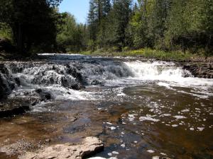
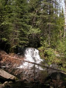
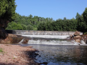
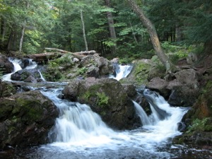
This is a list of minor waterfalls that I have visited. These falls do not get a page of their own because they are either relatively small, isolated, difficult to get to, and/or not overly photogenic. There is no exact science to this. Some of these falls are nice secluded hang outs for the locals, and I am sure that each of these waterfalls is someone's favorite waterfall in all the world, but you have to be more than a little obsessive to go seeking them all out. Another reason for listing many of these falls is that they show up as names in web searches or on maps with little or no additional information. Hopefully this page will let you make a more informed decision about trying to visit these waterfalls.
| [A-B] | [C-G] | [H-L] | [M-O] | [P-S] | [T-Z] |
44.765N 78.0867W Marble Rapids
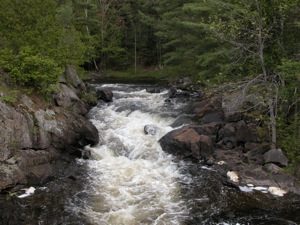
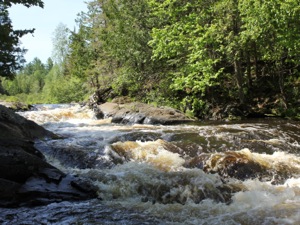
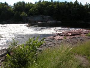
Marble Rapids is a small road side falls located on Eels Creek. Mill Lake Road crosses Eels Creek just below the rapids, and it is easily viewed from the bridge. Mill Lake Road runs from Route 28 to Route 620.
The larger and more remote High Falls is several miles downstream. Another High Falls is just a couple of miles upstream, but it is not clear if this falls can be visited or not.
37.500N 81.1395W Mash Fork Falls
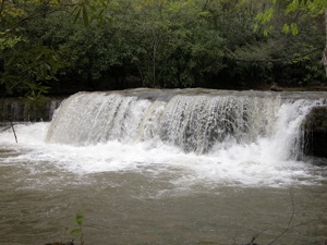
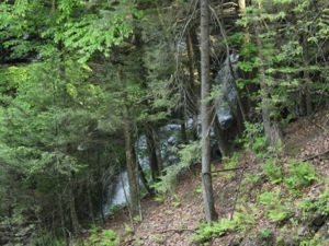
Mash Fork Falls is a 7' falls in Camp Creek Resort State Park. The falls is easy to reach by car or foot. The park can be reached from exit 20 on I-77. Once in the park, turn left at the sign for Mash Fork Campground. You will soon see a gravel road on your right that leads to the falls. The larger Campbell Falls is less than a mile away.
There is some inconsistent information out there about this waterfall. The online park map shows a falls on Farley Branch, not Mash Fork Branch, and the location of that falls better matches my memory of how I got there. Unfortunately the gravel road that leads to the falls does not show up on maps, and I did not take a GPS reading. However I cannot find any information about a waterfall on Farley Branch, and lots of online photos of the falls I visited can be found and they are all labelled "Mash Fork Falls".
It had been raining a lot when I visited Camp Creek, so the falls had far more water than they typically do.
44.993N 79.2014W Matthiasville Falls
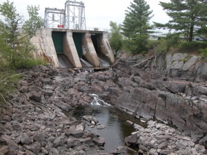
Mathiasville Falls was a small falls on the south branch of the Muskoka River. It has been all but obliterated by a dam. The water is mostly diverted. When I visited during a wet spell in May, only a trickle was flowing through the falls.
The falls is located off of Route 18, about 10km east of Highway 11. Mathiasville Road will take you to the falls.
39.3N 86.72W McCormick Creek Falls
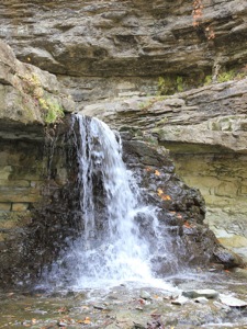
McCormick's Creek Falls is a 10' drop located in McCormick's Creek State Park. This is Indiana's oldest state park. The focal point of the park is the falls and the impressive canyon that McCormick's Creek has carved out. The canyon is a mile long, and more than 100 feet deep, which is quite significant for the otherwise relatively flat Indiana landscape. The creek drops over 150 feet on its way through the park, but the falls is the only drop of any significant height.
The falls are easily seen from an overlook that is a short walk from the parking area. A stair way will take you down into the gorge, and rough trails lead upstream to the falls. There is no bridge over the creek. In high water crossing the creek is not possible.
44.179N 80.810W McGowan Falls
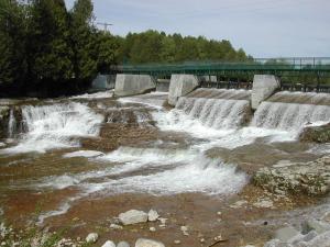
McGowan Falls is the smallest of the many falls in Ontario's Grey County. There is a dam on top of the falls, and the height of the falls is at most 10 feet. This is definitely not worth a long drive, but its worth a quick stop on your way to visit the many waterfalls in the Owen Sound area. The falls is located in a park just east of the Hwy 4/Hwy 6 junction. Inglis Falls is about 40km to the north. Eugenia Falls is about 30km to the east.
46.313N 89.0539W Mex-i-min-eFalls
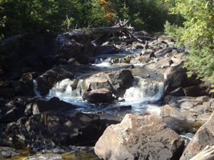
Also known as Burnt Dam Falls, this a low falls on the Middle Branch of the Ontonagon River. The river drops at most 10' in two distinct steps.
The waterfall is located in a small national forest. There are only half dozen sites, but given how out of the way it is you probably have a good chance of finding a spot to camp if you are so inclined.
To reach the falls, head east 7 miles on old US Highway 2 from Watersmeet. The first 6 miles are paved. Take a left on to Forest Road 4500. There are no signs for the campground or the falls here. Follow this just over a mile to the campground.
47.962N 84.890W Michipicoten Harbor Falls
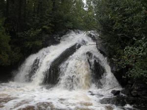
This small 10' waterfall is a few miles west of Silver Falls along Michipicoten Harbor road. It is visible from the road but the view is obscured. You have to get out of your car and walk a short distance to get a close up view. I do not know what the official name fo this waterfall is, or how regular it is. The picture shown here was taken on a very rainy day in September. This falls is right near the border of Michipicoten First Nation lands. Dore River Falls is also on Michipicoten land. It can be visited by canoe or kayak. I have no idea if it is accessible by land. Rumor has it that is is slated for hydroelectric development.
43.233N 79.974W Mills Falls
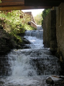
Mill Falls is a tumbling cascade located in Ancaster behind the Old Mill Restaurant. The falls is located on Ancaster Creek, upstream of Sherman Falls. The falls drops 10m in a series of drops. There is a dam at the top of the falls.
There are not a lot of vantage points from which to see Mill Falls. The restaurant is built over part of the falls. There is a viewing platform by the dam at the top of the falls. The lower part of the falls is more interesting, but views are limited.
46.201N 83.028W Mississagi Falls
This waterfall shows up in MapQuest and is mentioned on canoe routes. The waterfall is about 5 feet high, but it is over 100 feet wide and a lot of water goes through this fall. It is visible from Hwy 17 just west of Blind River, Ontario. There is a short two track off of Hwy 17 that leads to the falls. Be careful because the two track is located right along a curve on Hwy 17. The Mississagi's much more impressive plunge is at Aubrey Falls far to the north.
41.4797N 75.915W Moneypenny Falls
Moneypenny Falls is two tiered 30' falls near Tunkhannock Pennsylvania. The waterfall is on private property. It can be seen from the road, but the views are obscured by trees. To reach the falls from Tunkhannock, head south on Highway 29. Take a left on to State Route 2007. Follow this for 4 miles, and take a left on to Thurston Hollow Road. Follow this for a half mile to a wide turn. There is a large parking area on the left side of the road, and plenty of evidence of trails leading to the falls. There are also a lot of "No Trespassing" signs.
Maybe it is because I used to watch "Gilligan's Island" as a child, but I find it very amusing that Money Penny Falls is located on Thurston Hollow Road.
At the intersection of 2007 and Thurston Howell road there is an odd collection of old fire engines and other things on the road side.
49.0589N 86.0742W Nama Falls
Nama Creek Falls is a small, and very remote falls near Manitouwadge Ontario. The creek tumbles down a series of steps, none of which is more than a meter or so high.
Reaching this waterfall is not easy, and the pay off to effort ratio is extremely low. From Manitouwadge, drive west on Caramat Industrial Road for 14km. This is a wide, but bumpy gravel road. Take a left and head south at the fork. This road quickly turns into a one lane forest road. A regular car may not be up to this road. After 8 km you will reach a wash out, and the "roads" become two tracks and trails. Just beyond the washout, take a right and follow the trails, keeping to the right when possible. The trail eventually turns into a hiking trail, that follows a ridgeline through the forest before descending steeply down to the falls. The final leg of the trail is overgrown and not well defined. None of the trails are signed or maintained.
The much larger Four Bay Falls is nearby, but it is also harder to reach.
46.7535N 89.6199W Nonesuch Falls
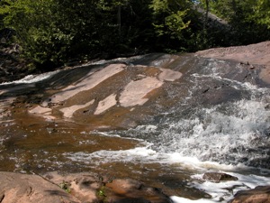
Nonesuch Falls is a small waterfall on the Little Iron River, located in the abandoned town of Nonesuch within the boundaries of Porcupine Mountains State Park. The falls is at most 10 feet high, and the river does not carry a lot of water in the summer. One interesting thing about the falls is that the bedrock is tilted at roughly a 45 degree angle, creating interesting obstacles for the river. Far more interesting than the falls is the remains of the old late 1800's mining town of Nonesuch. The crumbling ruins of a few old buildings can be found near the river and many subtler bits of evidence also remain.
Nonesuch is located off of South Boundary Road near the eastern edge of the park. From the parking area it is about a mile hike along an old road to the town ruins and falls. The falls are a few hundred feet upstream of the old town.
45.396N 84.058W Ocqueoc Falls
Ocqueoc Falls is the only "major" waterfall in Michigan's lower peninsula. In rockier, hillier parts of the world this would be a nameless rapids of no note but here in the farmlands and forests of Michigan it merits its own little park. The falls is at most 5 feet high. There is a small gorge below the falls, with rocky walls about 20 feet high. The Ocqueoc Falls State Forest Campground is just across the road, and the Bicentennial Pathway passes by the falls.
The falls is about 10 miles northwest of Onaway, the nearest city. From Onaway head east on MI-68. MI-68 takes a left turn after about 8 miles. According to some maps, this northbound stretch of MI-68 is part of Millersburg Road. After 2 miles, MI-68 veers off to the right, but continue straight. Take a right onto Ocqueoc Falls road. According to my road atlas, Rainy River falls is about 6 miles to the east, but it is on private property. I imagine it is similar in size and appearance to Ocqueoc Falls.
46.6473N 88.511W Ogemaw Falls
Ogemaw Falls is a 12 foot drop on Ogemaw Creek in Baraga County Michigan. It is located off of Baraga Plains Road, which intersects with US-41 just a mile or so north of Canyon Falls. Head west for about 1.5 miles. The road will turn to the left, and there will be a large pond to the left. This is where the road crosses Ogemaw Creek. The falls are a few hundred yards to the left. The road crosses above the falls, so you cannot see them from the road. You have to climb down into the gorge to get a view. This is not difficult, but there is no real trail. This is a small waterfall. Many much more impressive waterfalls can be found in Baraga County.
46.6473N 88.511W Orienta Falls
Orienta Falls is a low wide falls on the Iron River less than a mile from its outlet on Lake Superior. There is a dam here, but parts of the falls remains. The river has carved out a wide gorge through the sandstone. The waterfall is less than 10 feet high, not counting the dam, but it is 50 feet wide.
The falls is about 6 miles west of Port Wing. From Highway 13, head south on Orienta Falls road for 1 mile. When the road turns to the left, continue straight into the parking area. The access is for hunting and fishing. A steep trail leads down into the gorge.
46.720N 89.825W Overlooked Falls
Overlooked Falls is a small falls on the Little Carp River. The scenic falls consists of two drops, each about 5' in height. This is the most easily accessed of the falls on the Little Carp River, big or small. It is only a few hundred feet from the parking area. The trailhead to the falls is at the end of Little Carp River road. This is also the trailhead to Greenstone Falls, which is about 1/2 mile away. The trail also leads to the much larger Trappers Falls, which is three miles away.
| [A-B] | [C-G] | [H-L] | [M-O] | [P-S] | [T-Z] |
This page has been accessed
14796 times.
Last Modified:
Monday, 06-Aug-2018 19:40:37 MDT.


