


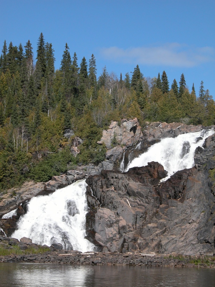
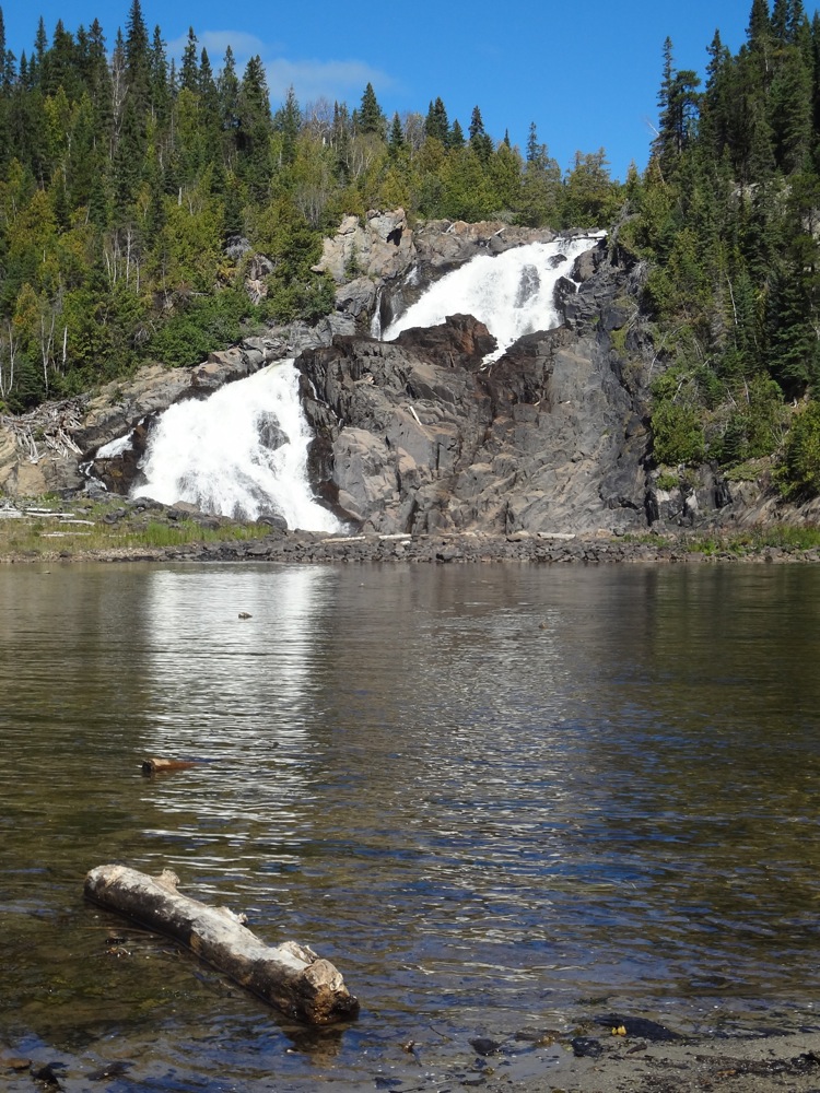
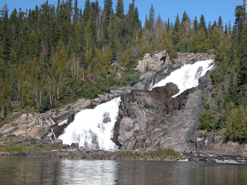
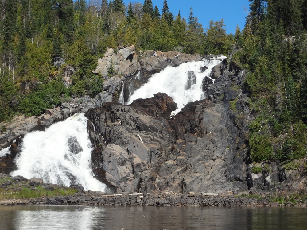
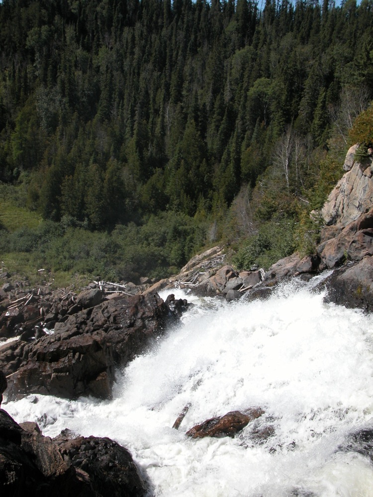
High Falls is a large, wild and scenic falls on the Pic River. The falls is located northwest of Manitouwadge Ontario. The Pic river cascades 30m down a steep rocky escarpment. There are two main drops, each of about the same height. When the water is high there are two lower drops. When I was there the water was all flowing to the right, but if you look carefully at the photos above and below you can see where the left channel would be.
Reaching the falls is a bit of an adventure. From Manitouwadge, you first need to drive about 60km drive on the rough Industrial Road. This is a wide, crushed gravel road, which has many hills and rough spots, and sees a lot of large truck traffic. On the plus side, the signage for the falls is very good. After 60km you have to leave the main road and get on a rough two track and go an additional 5.4km to the falls. A regular car is not going to make it, and even a truck is only going to cover about 3km. From there on you either have to walk, bike or take an ATV. The trail is a two track, and is easy to follow. Take the first left, and then keep to the left. There is a sign at the first branch directing you towards High Falls. Here is the route I took on Google Maps. It is possible to get there in a regular car if you are careful, but a truck or SUV will make the journey a lot easier.
The trail will take you to a vantage point at the top of the falls, and down to the river bank below the falls. The view from the top is quite spectacular, but be careful as there are no railings and it is a long way down. It is not possible to get right to the base of the falls without getting wet. There is a steep rock cliff between the bank and the falls, and the river is deep there. I was able to wade across a shallower portion of the river to a sandbar that was directly below the falls for some head on shots, but this is will not always be possible due to water levels.
There are plans to develop a hydro-electric site at this falls. Hopefully the falls survive with some of their splendor intact. There had been efforts to try to capitalize on the tourist potential of the falls, such as the signs leading to the falls, but the overall remoteness of the area has made it a challenge.
[Lake Superior] Nearby Falls
The smaller Middle Falls is a few kilometers downstream. If you continue on the trails you will reach them. Manitou Falls is further downstream. You will pass the road to this falls on your way from Manitouwadge to High Falls. You will also pass the road to Twin Falls on the Kagiano River, a tributary of the Pic River. A dam has already been built here, but the falls are still flowing, even if not like they once did. There are also the much harder to reach Nama Falls, Four Bay Falls, and Labrador Falls.
Photo Gallery
 |
 |
 |
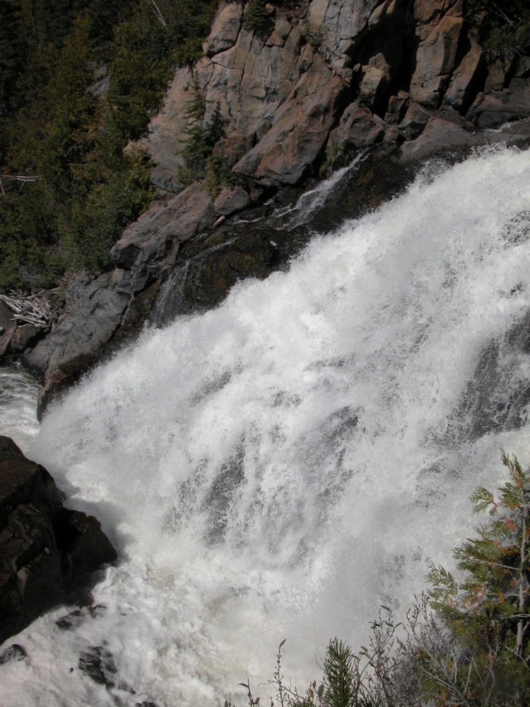 View from the top |
 View from the top |
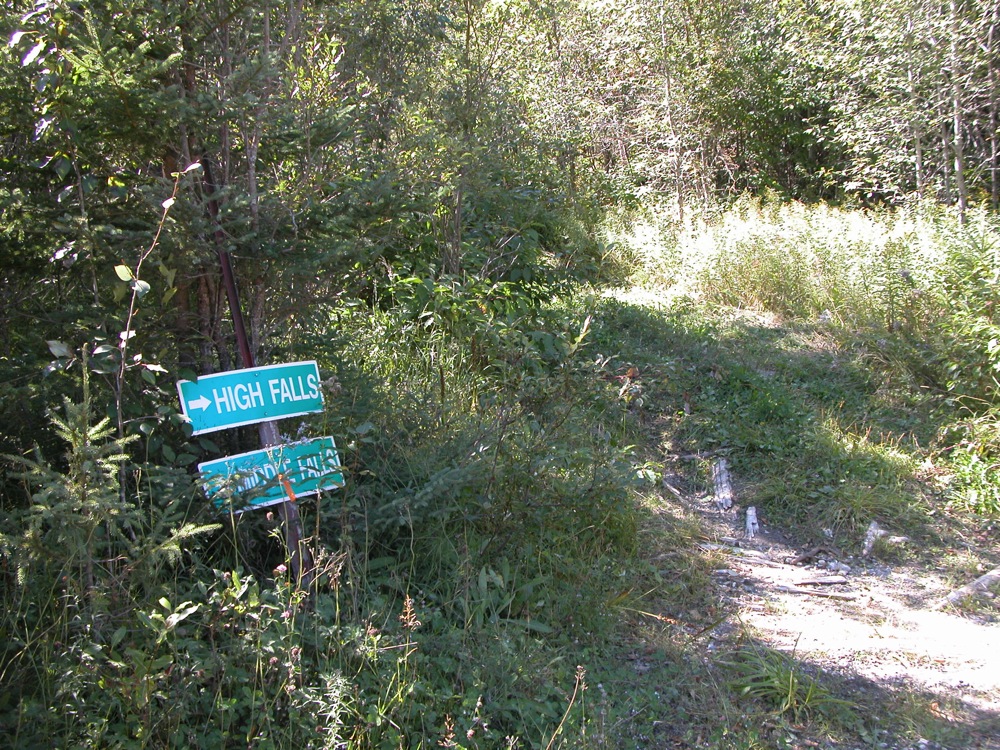 A Sign for the Falls |
This page has been accessed
30303 times.
Last Modified:
Monday, 03-Jul-2017 12:16:46 MDT.