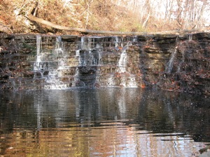
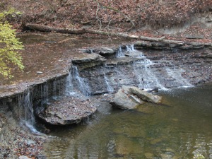
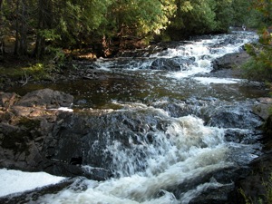
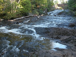
This is a list of minor waterfalls that I have visited. These falls do not get a page of their own because they are either relatively small, isolated, difficult to get to, and/or not overly photogenic. There is no exact science to this. Some of these falls are nice secluded hang outs for the locals, and I am sure that each of these waterfalls is someone's favorite waterfall in all the world, but you have to be more than a little obsessive to go seeking them all out. Another reason for listing many of these falls is that they show up as names in web searches or on maps with little or no additional information. Hopefully this page will let you make a more informed decision about trying to visit these waterfalls.
| [A-B] | [C-G] | [H-L] | [M-O] | [P-S] | [T-Z] |
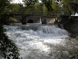
42.871N 77.761W Papermill Falls
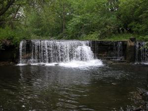
Papermill Falls is located in western New York, about 3 miles south of Avon. This waterfall is only about ten feet high and is very easy to visit. From Avon head south on Route 39 (locally known as Avon Road). Take a left (east) onto Papermill Road. The road crosses the creek just above the falls. There is a small county park on the left side of the road before the bridge. No hiking is necessary. In addition to the falls there is a very pretty old stone bridge just upstream of the current bridge.
Papermill Falls is located roughly halfway between the falls in Rochester and the falls in Letchworth.
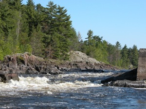
45.594N 87.777W Pemene Falls
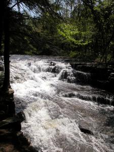
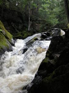
Pemene Falls is a rapids on the Menominee River on the Michigan/Wisconsin border. The river drops about a total of 10' over a stretch of 100'. There are the remains of an old dam near the final drop of the falls. The surrounding rock and forest is quite scenic.
The falls is very easy to visit. There is a signed parking area for it off of State Road, a mile north of Michigan road G 18. State Road is gravel, as is the parking area, but easily managed by an ordinary car. A rough trail leads from the parking area over the rocks down to the falls.
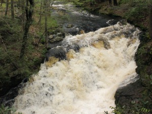
41.121N 75.009W Pennel Falls
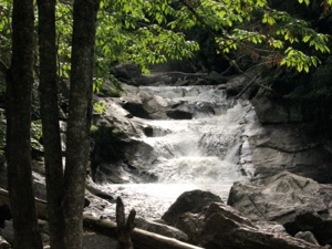
Pennel Falls is a small drop on Bushkill Creek about a quarter mile upstream of the big Bushkill Falls. The falls is less than 10 feet high. The is the smallest of the named waterfalls in the park. You will see it if you take the time to hike the loop that goes past Bridal Veil Falls.
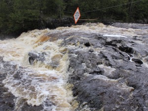
45.829N 88.252W Pine River Falls
Pine Rive Falls is a series of three drops just below the dam on the Pine River. The area is fairly easy to visit, but I was a bit surprised and disappointed by the lack of any well defined trails to the falls themselves. Perhaps this is because the falls are often dry and not worth seeing, or perhaps I just did not try hard enough. The ticks kind of deterred me from trying too hard.
The falls can be accessed from the Pine River Flowage. There is a small picnic area by the dam. You can camp here as well. The falls can be easily heard, but not seen from the picnic area. From Florence, head south on County Road N. Take a right on to County Road D, and then a left on Pine River road. The road ends at the dam.
46.5N 86.529W Potato Patch Falls
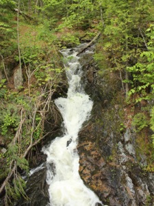
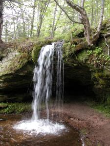
Potato Patch Falls can be found right next to the Potato Patch backcountry campground in Pictured Rocks National Lake Shore in Michigan 8 miles north east of Munising Falls. I do not think the name is official. I am just following the lead of this person. The falls has several parts. The plunge is 20+ feet high. Above this there is a cascade that drops several feet. Below the plunge there is a long slide that is at least 30 feet high. You could probably get to the base of the falls, but due to the number of trees you probably would not be able to see the whole falls. The falls is just a short distance from the Lake Shore Trail head at Miners beach. You just have to hike up the hill to see the falls. The lake shore trail passes right over the top of the falls.
35.092N 83.268W Quarry Falls
Quarry Falls is a roadside falls along Highway 64 on the Cullasaja River. Quarry Falls is a slide with a height of around 15' high. It is located between the much larger and more impressive Dry Falls and Cullasaja Falls. The spot is a popular swimming hole. Based on the falls nicknames, such as "Sliding Rock" and "Bust-Your-Butt-Falls" it is also used a natural waterslide.
Just south of the falls there is a large pull off on the east side of the road where you can park. Be careful crossing the road, because of the curves.
46.7886N 88.24172W Quartzite Falls
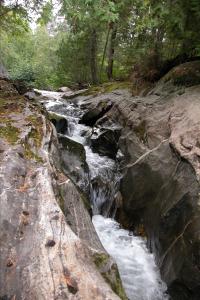
Quartzite is one of the many named drops on the Slate River. This is one of the more distinctive and interesting falls. The crest is horseshoe shaped, and then it narrows into a long cascade in a low gorge. The falls is at most 10' high, but the area is remote and scenic. People often camp near the falls. I am not sure if it is an official campsite or not.
Reaching this waterfall is relatively straightforward. From Skanee Road, head south on Avron Road. This is the road just east of the bridge over the Slate River. This is a dirt road, but it is well maintained. Drive 1.3 miles, and then take a left. According to Google Maps, this is All Wood Road, but I do not recall if there are any signs. Head east for a tenth of a mile. You should reach a bridge over the Slate River. Just beyond the bridge there is parking on the left side of the road. There are trails that head downstream. The falls is a couple hundred feet from the road. If you head upstream, you will reach Black Slate Falls.
44.3N 77.8W Ranney Falls
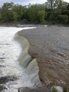
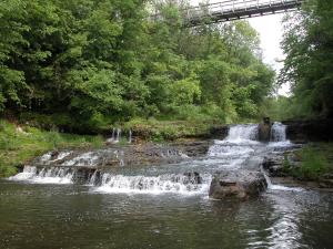
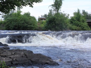
Ranney Falls is located on the Trent River in Ferris Provincial Park. The falls is only 2 meters high, but it is nearly 100m wide. The Trent River races over this falls. Often streams are a bit sluggish just above a waterfall, but not so in this cae.
There are not a lot of opportunities to explore the falls. A trail follows the rim of the gorge. There are stairs leading down to a vantage point near the lip of the falls. There does not appear to be any other way into the gorge, and it does not look like it would be safe anyway. Downstream of the falls is the Ranney Gorge. A pedestrian suspension bridge spans the gorge. You can get a nice, but distant view of the falls from the bridge. The bridge is fun all by itself. It is 10m above the water, and sways when people cross it or the wind blows.
46.0216N 86.981W Rapid River Falls
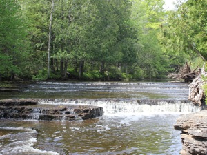
Rapid River Falls is a series of small step falls on the Rapid River. The largest drop is perhaps two feet high. In typical water levels kids can safely wade across the river above and below the falls.
The falls are located along US 41, about 22 miles north of Escanaba. The falls is located in a small park, appropriately named 'Rapid River Falls Park'. The park is located on the west side of US 41. There is a sign for the park.
46.574N 87.477W Reany Creek Falls
Reany Creek Falls is a series of drops on Reany Creek shortly before it enters the Dead River. This is a road side falls, clearly visible from the Forestville Road. The creek drops 15 feet or so. The most significant drop is best seen from the bridge. Another drop is below the bridge, and more smaller drops are upstream.
The falls are located just before the end of Forestville Road and the trailhead to the Dead River Falls. Forestville Road can be reach from Wright Street, .6 miles north of US 41.
44.854N 92.633W River Falls
River Falls is another town in Wisconsin with "falls" in the name. The town is located at the junction of the Kinnickinnic River and the South Fork of the Kinnickinnic River. Waterfalls were located just above the junction of both rivers. Both falls were put to work by settlers. Junction Falls Dam still remains on the main fork of the river, but the dams and mills on the smaller South Fork fell into disrepair and were washed away in floods.
At least two small unnamed waterfalls each around five feet high are on the South Fork. One is easily accessible from Glen Park. There is a pedestrian suspension bridge leading into the park over the falls that gives you a nice view of the gorge. The second fall is upstream, just behind the Boy Scout Lodge at the end of Vine Street.
If you are just looking for waterfalls, make sure you have time to check out Willow Falls, Vermillion Falls, and Minnehaha Falls before spending a lot of time here. Each of those falls is far more impressive and the first two are both within 20 miles, and the last within 50 miles.
38.994N 85.603W Rock Rest Falls
Rock Rest Falls is located in Jennings County Indiana near Vernon. This small, seasonal, roadside falls is about 10 feet high. Below the falls is a small rocky ampitheatre and gorge. The waterfall is located along side Rock Rest Road between US-50 and State Road 7. Rock Rest Road is known as County Road 75 where it meets US-50 and Country Road 25 where it meets State Road 7. The falls is on the west side of the road and is only 30 feet from the road. There is an area alongside the road where you can park. The land the falls is on is part of the Calli Nature Preserve.
43.548N 75.941W Rushton Falls
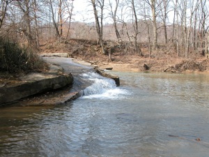
Rushton Falls is a pair of falls on the Grasse River in the town of Canton New York. The river drops about 10 feet. The falls are separated by an island in the river. The falls on the western branch are the steeper and more defined of the two. The falls are easy to reach. There is a parking area right off of main street. A foot bridge crosses the river to the island, and from here you can explore falls.
46.437N 86.814W Scott Falls
39.532N 82.420W Scott Creek Falls
Scott Creek Falls is located along Route 93 a few hundred feet from where the creek empties into the Hocking River. The creek only drops about 5 feet, but in terms of volume it is the largest waterfall in the area. Unfortunately due to the angle of the sandstone ledge the creek falls off you really cannot see much from the roadside. Pictured is the north east corner of the falls. The falls continues around the corner, and appears to be higher in the middle. You could get a great view from the farmland across the creek, but that is private property. You could also get a nice view from the water itself.
There is a small pullout alongside the west side of Route 93 opposite of Scott Creeks Rd. If you wanted to try to view it from the water, there is a river side park 1/2 mile upstream of the confluence of Scott Creek and the Hocking River from which you could launch a kayak.
39.280N 84.404W Sharon Woods Falls
Sharon Woods is a 730 acre park north of Cincinatti. One of the highlights of the park is Sharon Gorge. Sharon Creek has carved a gorge 90 feet deep in places on its way down Mill Creek. Along the way are a number of rapids, and two small waterfalls. The upper falls is about 8 feet high, and the lower one about 5 feet high. Depending on water levels both falls can be up to 20 feet wide. Both falls can be seen from the gorge trail. For better views of the upper falls you have to get down into the gorge.
These falls are best seen just after a rain. The creek is often dry, or nearly so. There is a dam at the head of the gorge that controls the levels on Lake Sharon. There are also two small dams downstream of the gorge which have created two small artificial falls.
Sharon Woods is located off of US 42, a mile south of the interchange with I-275.
47.463N 88.072W Silver River Falls
This small waterfall is located on the Silver River in the Keewenaw along M-26 about 4.5 miles east of Eagle River and 4 miles west of Copper Harbor. This Silver River is different and smaller than the Silver River in Baraga County. The falls consists of a number of small drops just downstream of the M-26 bridge over the river. Each drop is a slide a few feet high. The river has a small watershed and rarely has a lot of water. There is a small picnic area on the north side of M-26.
45.692N 87.937W Smalley Falls
Smalley Falls is in Wisconsin near Pembine. It is a minature version of Long Slide Falls which is 1/2 mile downstream. There is small parking area and a trail that leads to the falls. The falls drops around 10 feet or so over a stretch of around 100 feet. You can hike from here to Long Slide Falls. Like Long Slide Falls, there are no fences or railings here.
47.315N 84.599W Speckled Trout Creek Falls
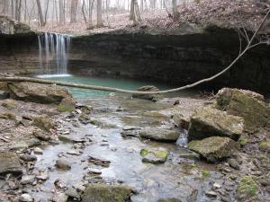
This is a small waterfall on Speckled Trout Creek, just south of Lake Superior Provincial Park. It might actually be in the park, but I am pretty sure that it is not. The waterfall is a narrow chute about 10 feet high and 30 feet long and only a couple of feet wide. The creek has carved out some interesting potholes and there is a nice big pool at the bottom.
There is no official trail to this waterfall. You can walk down the creek to reach it. There is a two track on the north side of the creek, but it was gated and marked as private property. I learned about this falls from fishing sites. Fish from the lake cannot get past the waterfall.
43.092N 79.292W Swayze Falls
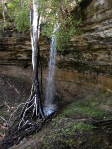
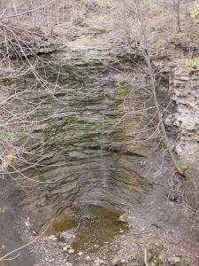
Swayze Falls is located in Ontario's Short Hills Provincial Park. Swayze Falls is a 50' high seasonal wet weather waterfall. Unless it has been raining recently, you are likely to find just a trickle as seen in the photo, or even an entirely dry falls. The falls used to flow more regularly, but deforestation has affected the stream flow.
The Short Hills are the work of an ancient river which broke up the escarpment creating a series of hills. The park protects 735 hectares of this unique environment. A series of hiking, biking and horse trails wind through the park. Swayze Falls is located in the southwest corner near the Roland Road access point. A second smaller waterfall can be found in the park on Terrace Creek.
| [A-B] | [C-G] | [H-L] | [M-O] | [P-S] | [T-Z] |
This page has been accessed
14621 times.
Last Modified:
Saturday, 18-May-2019 21:48:39 MDT.


