


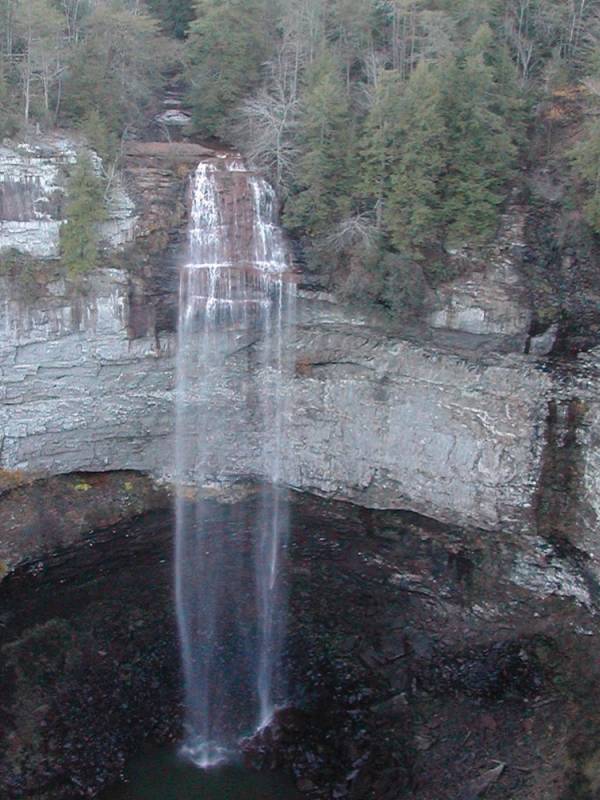
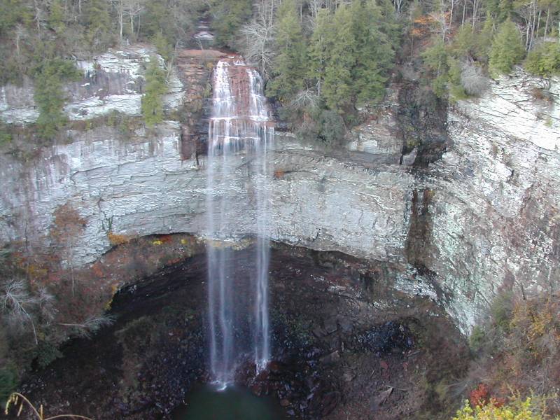
Fall Creek Falls is the namesake of Fall Creek Falls State Park. This waterfall is the highest single plunge east of the Mississippi. The water is not in free fall at the very top of the falls, which I think is included in the total height, so the true plunge is closer to 200' than 250'. Whitewater Falls in North Carolina, and Crab Tree Falls in Virginia are both over 400' high, as are some other falls in New England but they are all steep cascades with multiple drops. Taughannock Falls in New York drops 215 feet in a single plunge.
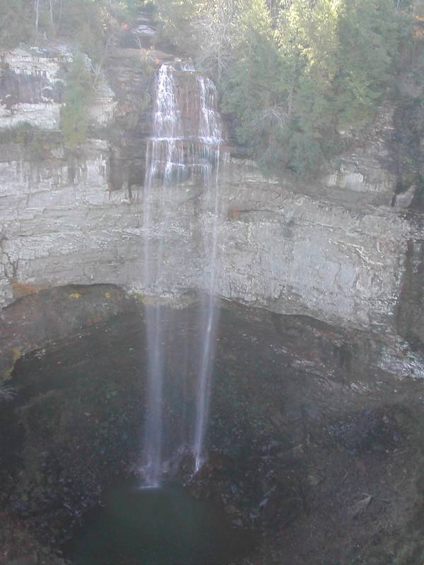
This is an easy waterfall to visit. A short walk from your car takes you to an overlook that provides a wonderful view of the falls, as well as wonderful views of the Cane Creek Gulf. A trail leads to the base of the falls. The trail has stairs and some steep sections. The overlook is considerably higher than the brink of the falls, so the descent to the base must be close to 300 feet. When the water is high, the view from the base must be spectacular.
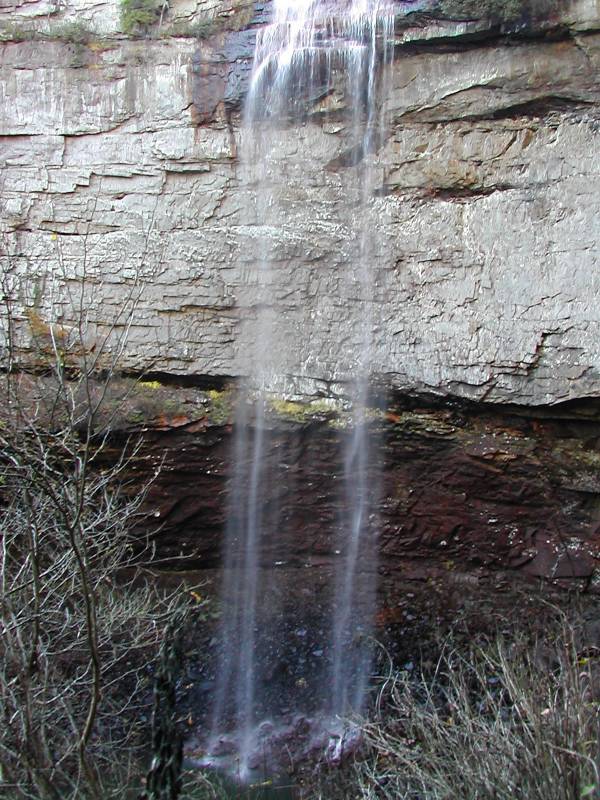
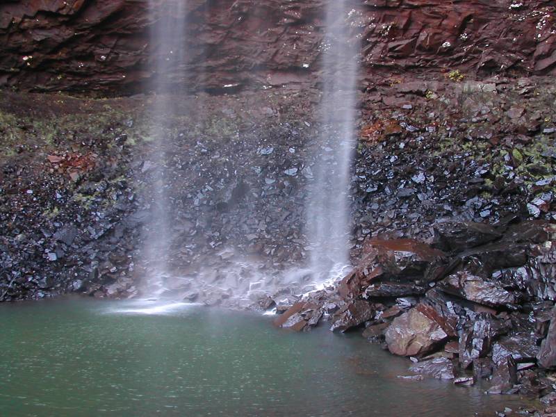
This is not a large creek, so there usually is not a lot of water going over the falls. There is a dam above the falls, and they try to guarantee that there will always be some water going over the falls. In November 2006 the falls were pretty thin. Fall Creek Falls has a seasonal companion, Coon Creek Falls, which is the water stain visible to the right of the falls in the pictures. After a good rain this turns into a spectacular 250 foot plunge.
The falls are easy to find. The roads through the park wind a lot, but with a map it is easy to find the falls. The park itself is also easy to find and will be on any decent map of Tennessee.
I was in Fall Creek Falls State Park in the morning in November, which is not the best time to try to take pictures of the Falls. The sun is behind the falls all morning. Much, much nicer photos of these falls can be easily found on the web.
[Cumberland Plateau] Nearby Falls
There are several falls in Falls Creek Falls State Park. A 20 minute, 1 mile hike, from the overlook will take you to the overlook for Cane Creek Falls. Another 1/2 mile takes you to Cane Creek Cascades and another view of Cane Creek Falls. Rockhouse Falls is right next to Cane Creek Falls. Piney Creek Falls is a few miles away by car, foot or bike. Virgin Falls, Twin Falls and many others are within an hour to the north. Laurel Falls is 30 miles to the east.
Photo Gallery
 |
 |
 |
 |
This page has been accessed
124227 times.
Last Modified:
Thursday, 24-Sep-2009 21:50:45 MDT.