


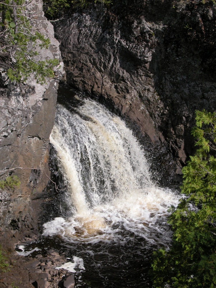
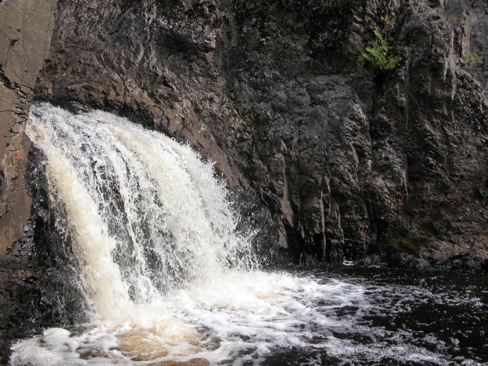
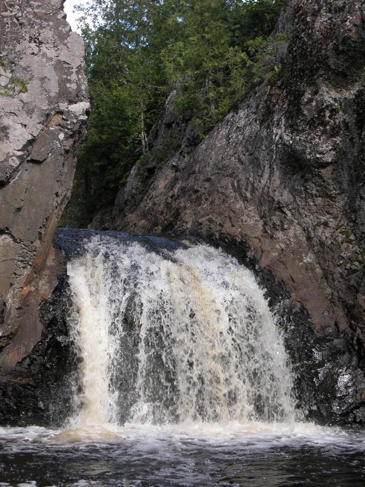
Wren Falls is located on the Tyler Forks, a tributary of the Bad River. The Bad River is aptly named, as it and its tributaries have carved rocky, twisted and often deep gorges through northern Wisconsin on its way to Lake Superior. The falls is only 12' high at most, but the deep gorge it slides into is very impressive, and the dramatic view from the overlook seems to make the falls look much bigger than it actually is.
Reaching the falls is straightforward, especially if you have an ATV or a high clearance vehicle. For those of us with less rugged vehicles, you may need to hike about 1.5 miles to reach the falls. From Highway 169 take a right onto Vogues road. Vogues road is a wide, well maintained dirt road. Follow Vogues road for 3.6 miles. It does a big arc, and ends at a hairpin turn where it meets Casey Sag Road. At this point you will be heading west. Casey Sag Road continues west as a rough two track. Another two track heads south. This is the road, or perhaps more accurately the trail, to Wren Falls. You could take a car or truck down it, but it is only wide enough for one vehicle, and there is no room to pass, and little room to pull off. People take ATVs down the trail, and mountain bikes would work well. I chose to hike it.
Follow the trail for about 1.3 miles. There you will reach a fork. Take the right fork, and follow it for about 1000 feet. It ends at a turn around. There is an impressive overlook here, a 100 feet above the falls. There is a steep descent down to the base of the falls here if you look carefully. If you follow the trails on the rim downstream, you can find some less high but still steep descents into the gorge.
There is a smaller cascade with a drop of a few feet about 1/2 mile downstream that can be heard from the trail. With some effort you can climb down to it. Based on the aerial photography there is another potentially interesting drop a few hundred feet upstream of that. At that point the trail is fairly far from the river, but I am sure it could be reached without too much trouble.
You can reach the falls from Highway 77 by means of Casey Sag Road, but I would recommend take Vogues Road instead. Casey Sag Road is much rougher. The Vogues Road route also has the advantage of starting on Highway 169. A few miles north on 169 you can find Potato Falls, and a few miles south you can find Copper Falls State Park, making this stretch of 169 a waterfall hotspot.
Nearby Falls
Foster Falls is about 3 miles away. If you head east on Casey Sag road, and then east on Sullivan Fire Road until it ends at the Potato River, you will find Foster Falls. As mentioned, Potato Falls is about 5 miles north of where Vogues road meets 169, and Brownstone Falls and Copper Falls are 10 miles to the south. Superior Falls, Morgan Falls and others are all within 30 miles.
Photo Gallery
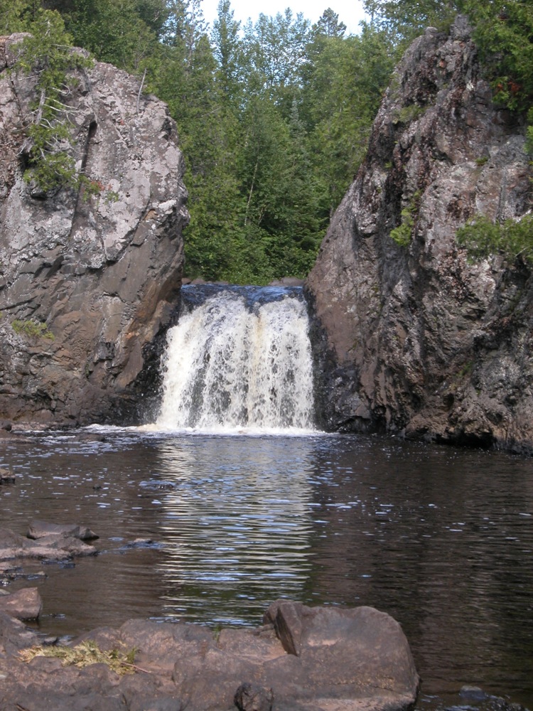
 The view from the overlook |
 Down in the gorge |
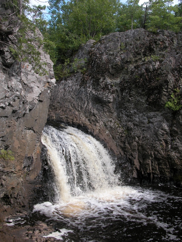 |
 |
 |
 |
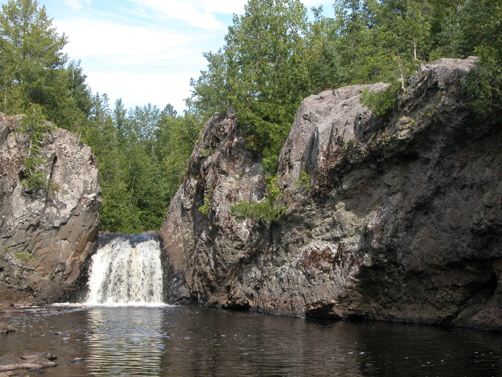
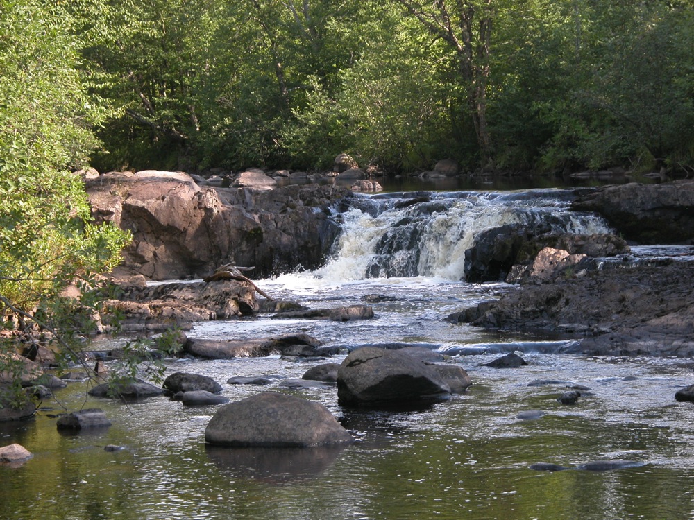 An unnamed drop downstream |
|
This page has been accessed
60833 times.
Last Modified:
Friday, 02-Dec-2011 21:45:55 MST.