


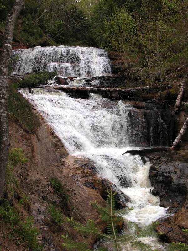
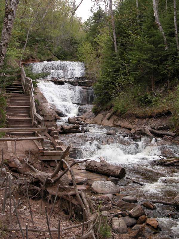
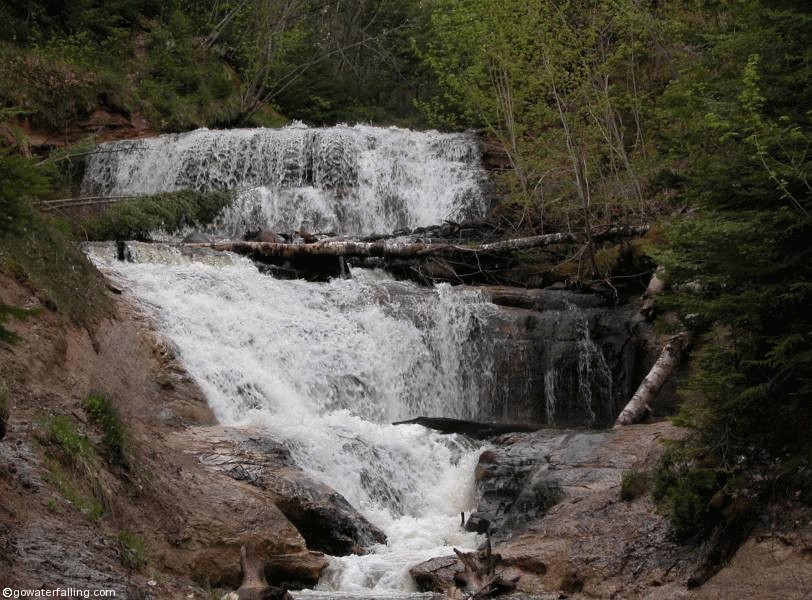
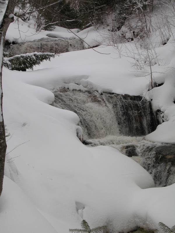
Sable Falls is located in Pictured Rocks National Lake Shore, at the east end of the park a few miles west of Grand Marais on H-58. It is only a half mile walk from the parking area to the falls. There is a set of stairs that takes you to the base of the falls. These falls are interesting because they are surrounded by sand dunes. If you continue on the trail you will be at the beach in a few minutes. The Grand Sable Dunes are just to the west.
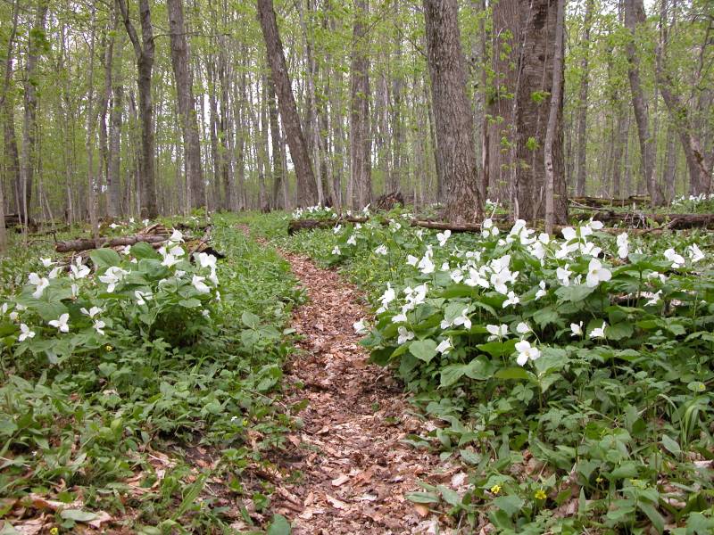
If you are looking for a longer hike, you can park at the Grand Sable Visitor Center and take the Beech Forest trail to the falls. In the Spring the forests are filled with Trillium.
You could continue east on H-58 to see other sites in Pictured Rocks, but the road is unpaved, very rough, and long. Unless you have an SUV you will want to avoid H-58.
[50 Mile Map] [Lake Superior] [Alger County] Nearby Falls
Spray Falls is a 20+ mile hike to the west along the Lakeshore/North Country Trail. You can continue on this trail all the way to Munising Falls which is 42 miles away. Chapel Falls and Miners Falls are also in Pictured Rocks. Pictured Rocks has many interesting things worth seeing, particularly the boat cruise.
Photo Gallery
 |
 |
 The Beech Forest Trail |
 March 2004 |
This page has been accessed
133345 times.
Last Modified:
Friday, 25-Sep-2009 20:54:49 MDT.