

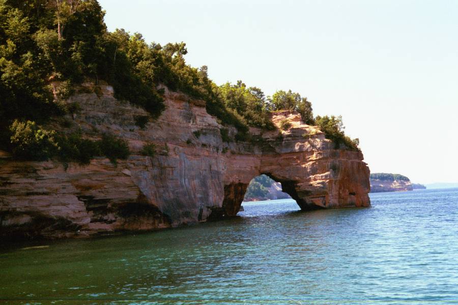
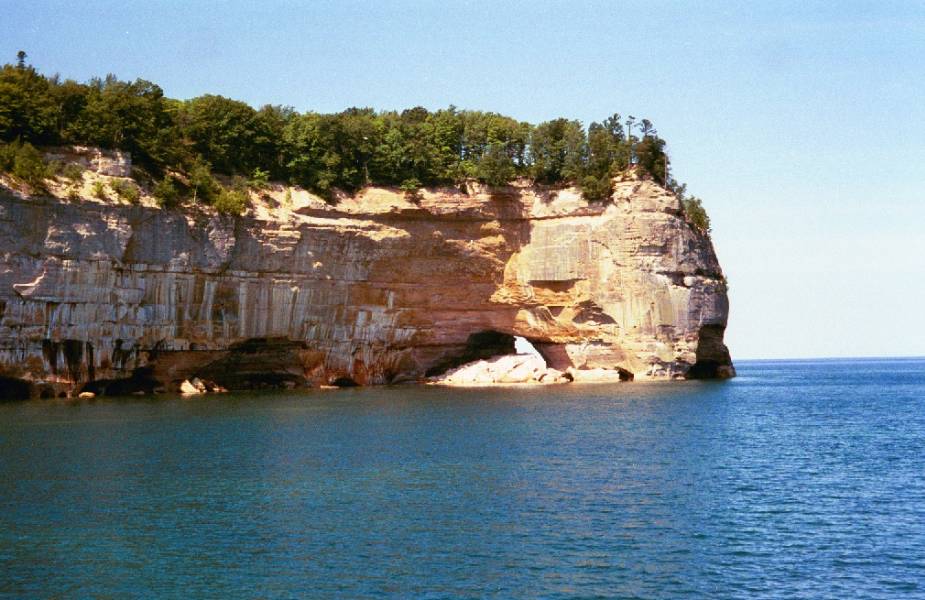
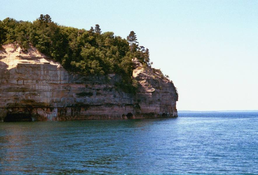
Pictured Rocks National Lake Shore is located along the 40 mile stretch of Lake Superior's shoreline in Michigan's Upper Peninsula, between Munising and Grand Marais. You can get a detailed map of the area from the Pictured Rocks headquarters in Munising. Here is a general map of the area.
One of the best ways to see Pictured Rocks is on the boat cruise. You can also kayak around the rocks.
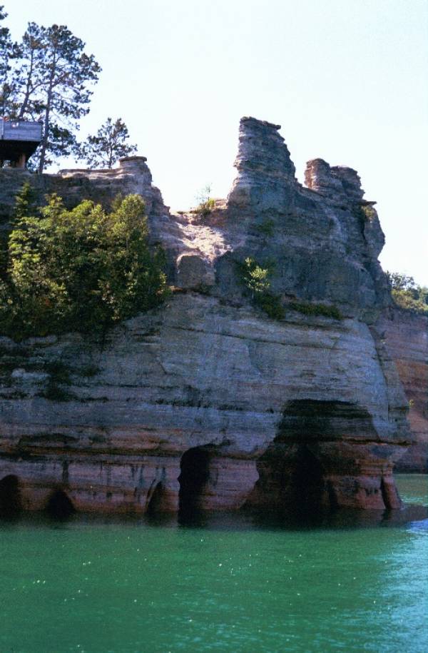
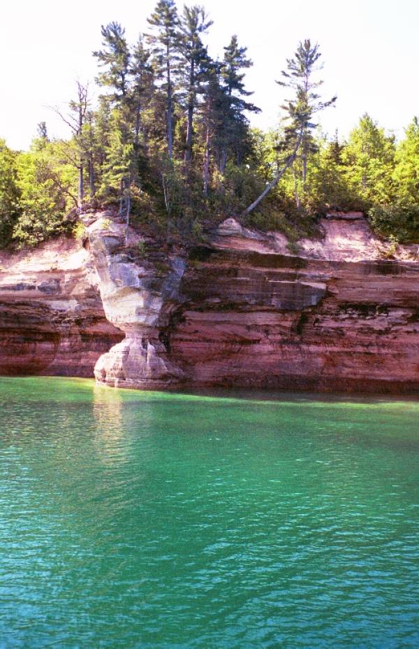
Miner's Castle
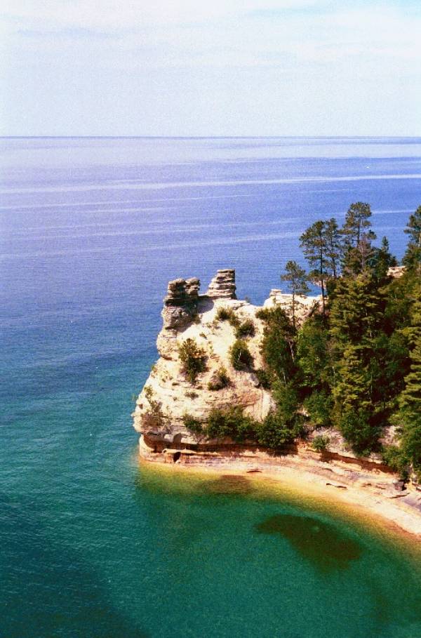
Miner's Castle
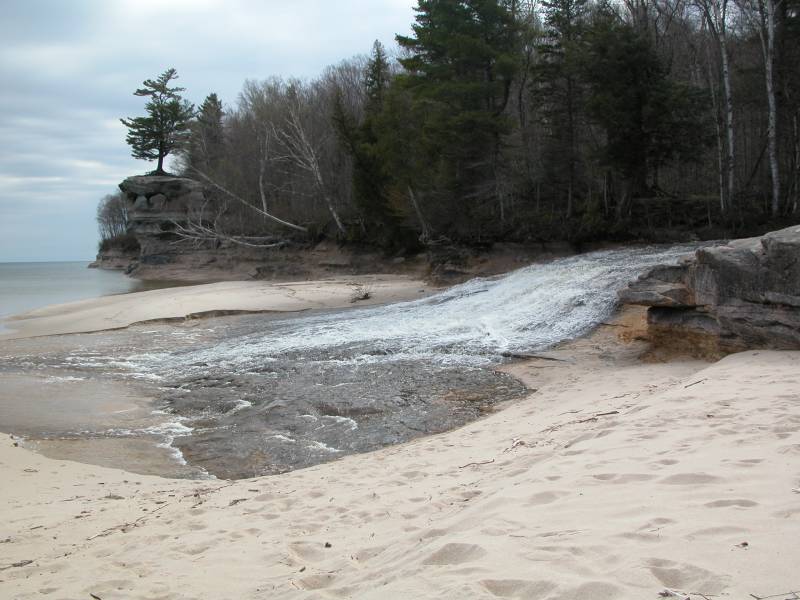
Chapel Beach
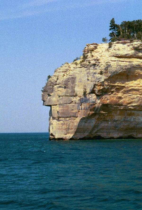
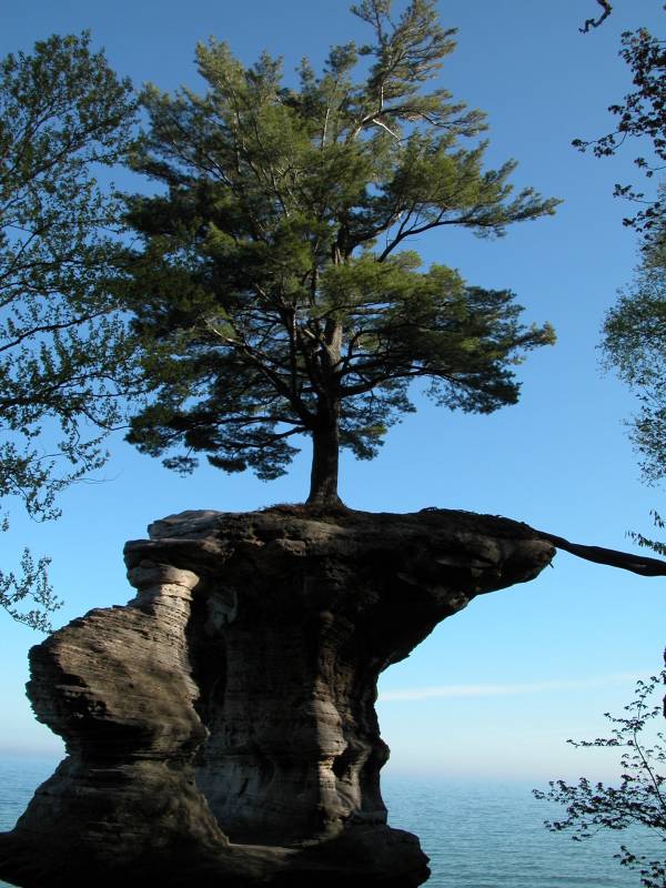
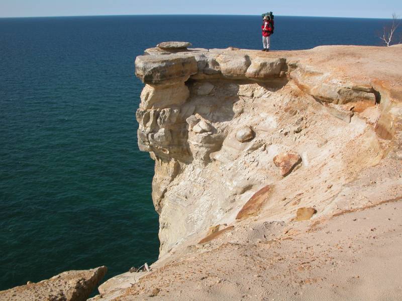
Indian Head
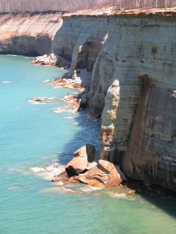
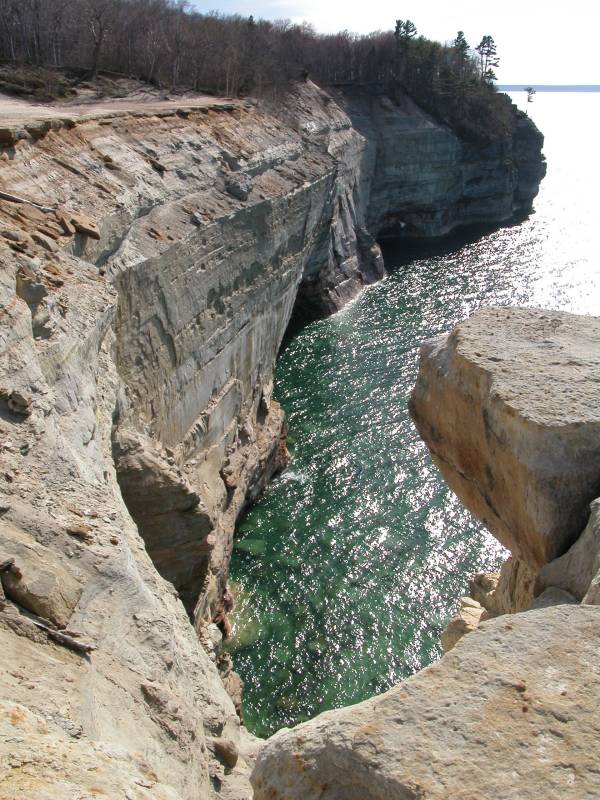
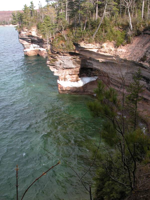
Hiking Along the Cliffs
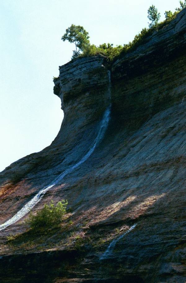
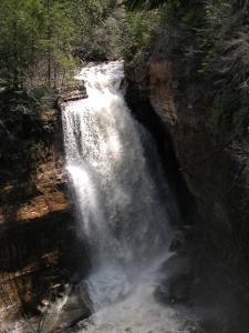
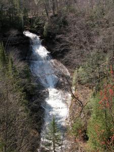
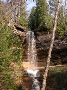
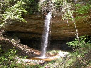
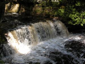
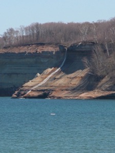
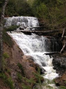
There are miles of hiking trails in the park, many of which wend along the tops of 500 foot cliffs above Lake Superior. There are a number of waterfalls in the park, including Chapel Falls, Miners Falls, Mosquito Falls, Munising Falls, Sable Falls, Bridal Veil Falls and Spray Falls. Bridal Veil and Spray Falls both fall into Lake Superior. In the spring several other temporary falls also fall over the cliffs of Pictured Rocks into Lake Superior.

This page has been accessed
101066 times.
Last Modified:
Thursday, 24-Sep-2009 19:12:54 MDT.