


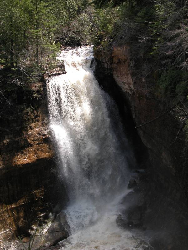
Miners Falls is located in Pictured Rocks National Lake Shore. To reach the Falls, take H58 west from Munising. Take H13 north 3.5 miles towards Miners Castle. There is a dirt road on the right that leads to falls. There is a sign marking the road. The dirt road is less than a mile and leads to a parking area. The walk through the woods to the falls is about 20 minutes. There are stairs at the end. The viewing area is a little frustrating. I do not know if there is an easy way into the gorge.
Here is a short movie of Miners Falls. The mist from the falls was confusing the camera's focus.
[Lake Superior] [Alger County] [5 Mile Map] Nearby Falls
Little Miners Falls is about a mile downstream but you would have to bushwack to reach it. Chapel Falls, Spray Falls and Sable Falls are also in Pictured Rocks. Wagner Falls, Munising Falls, and others are in nearby Munising. Pictured Rocks has many interesting things worth seeing, particularly the boat cruise.
Photo Gallery
 |
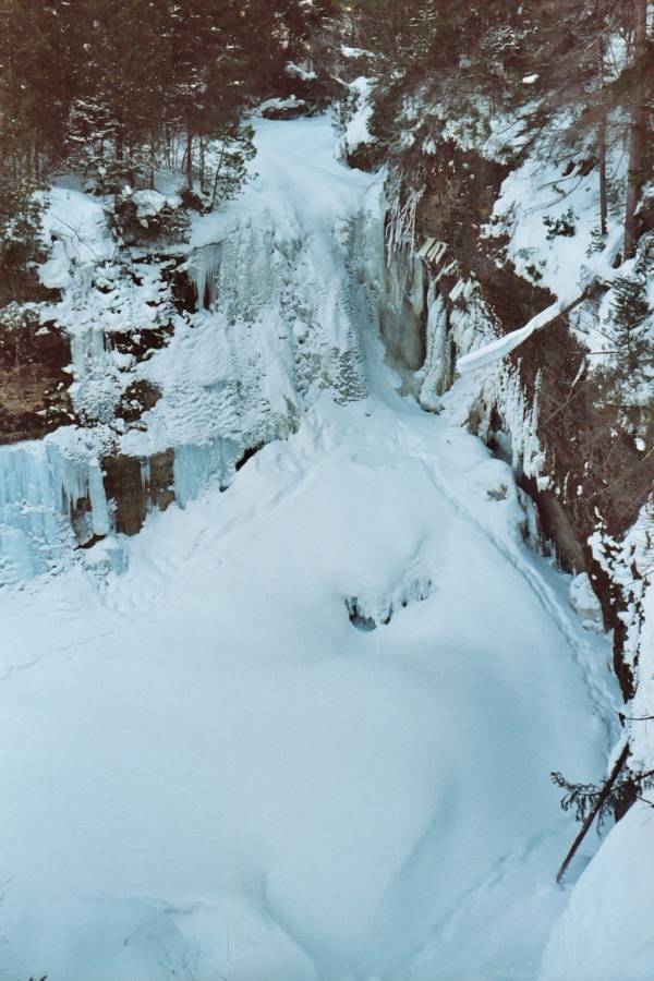 January 2003 |
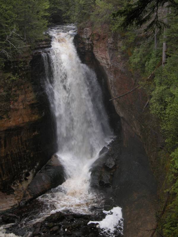 May 2006 |
 |
This page has been accessed
165495 times.
Last Modified:
Monday, 18-Jul-2016 21:03:57 MDT.