


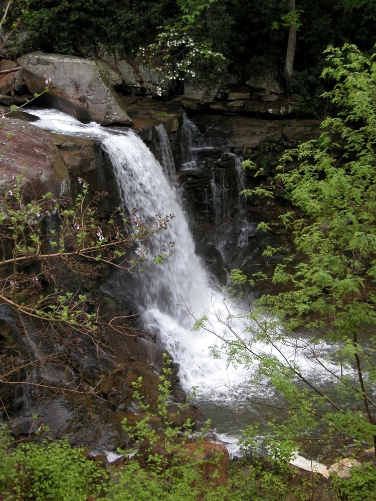
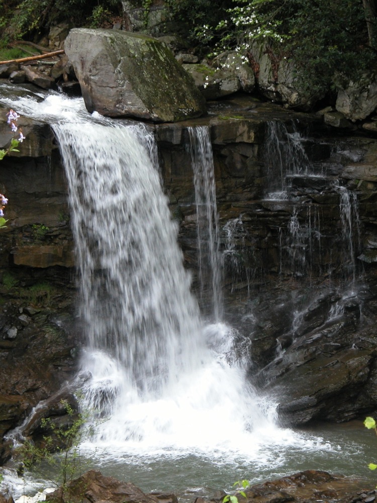
Laurel Creek tumbles over at least two main drops on its way down into the New River Gorge. The last drop is at least 25' high, and in wet weather can be quite impressive. In dry weather the falls becomes a trickle. The pictures on this page show the falls after several days of rain. It is not clear in the photos, but the water was high enough to create two segments at the lower drop.
The falls is located alongside Route 16, just south of where it crosses the New River. Both drops are visible from the road if you are heading south, but there are no real places to park near the falls, especially for the upper drop. I do not if there is any way into the gorge for better views of the falls.
Nearby Falls
If you head north on Route 16 to US 60, you will find Cathedral Falls if you head east, and Mill Creek Falls if you head west. If you head south on Route 16 you can find Wolf Creek Falls, Marr Creek Falls and Fern Creek Falls can all be found by the New River Gorge bridge.
Photo Gallery
|
 |
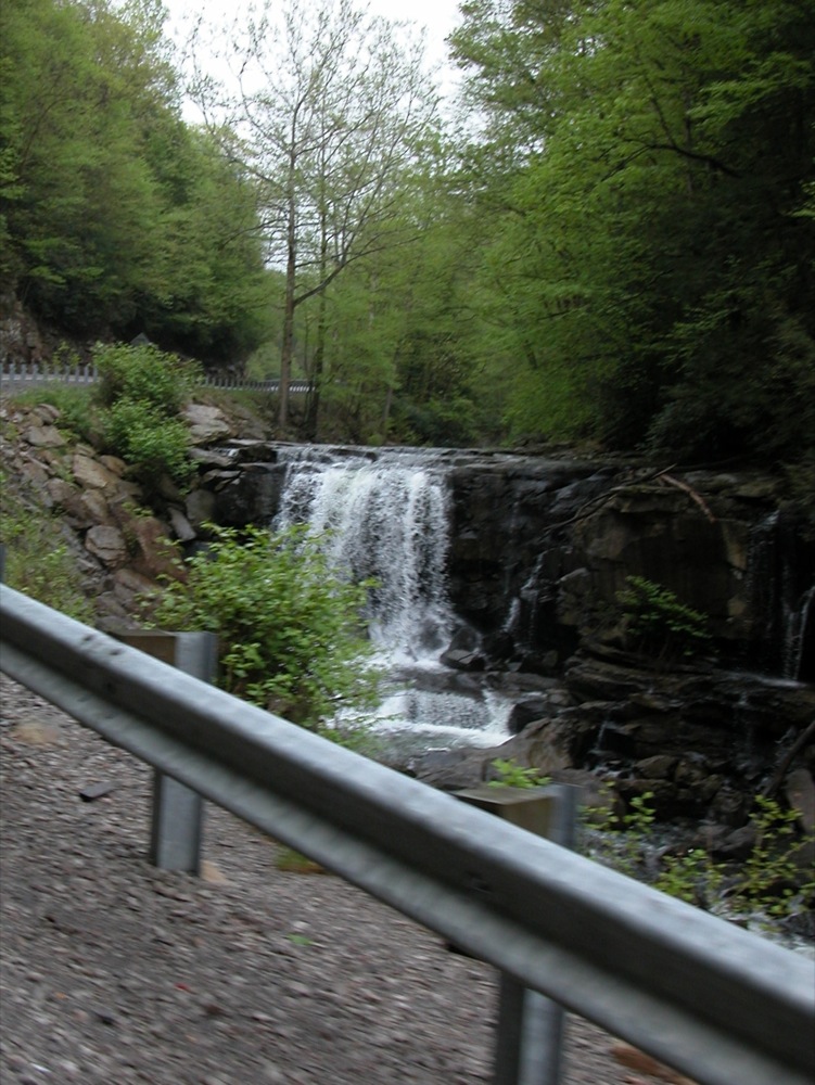 The upper drop |
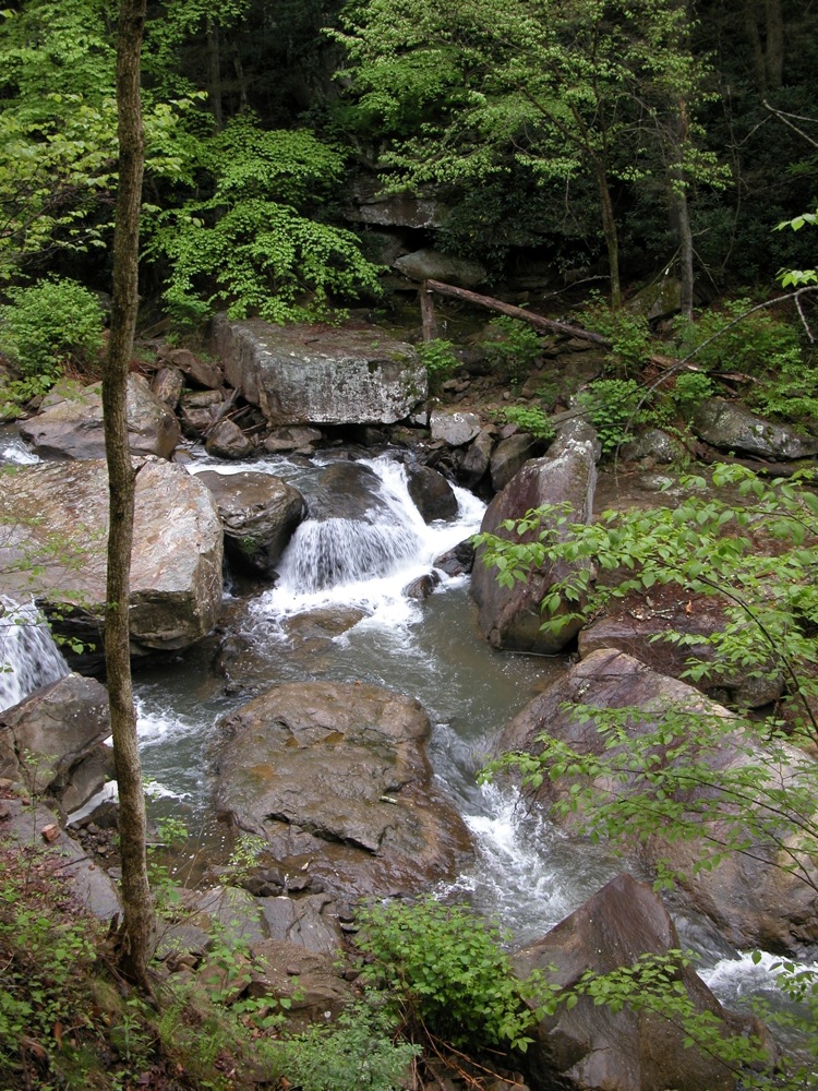 The creek above the lower drop |
This page has been accessed
51597 times.
Last Modified:
Friday, 23-Oct-2009 19:42:21 MDT.