


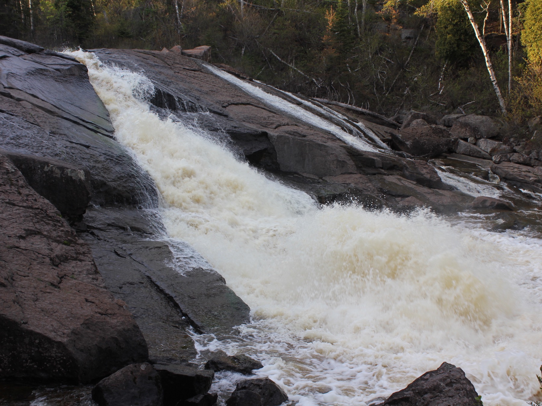
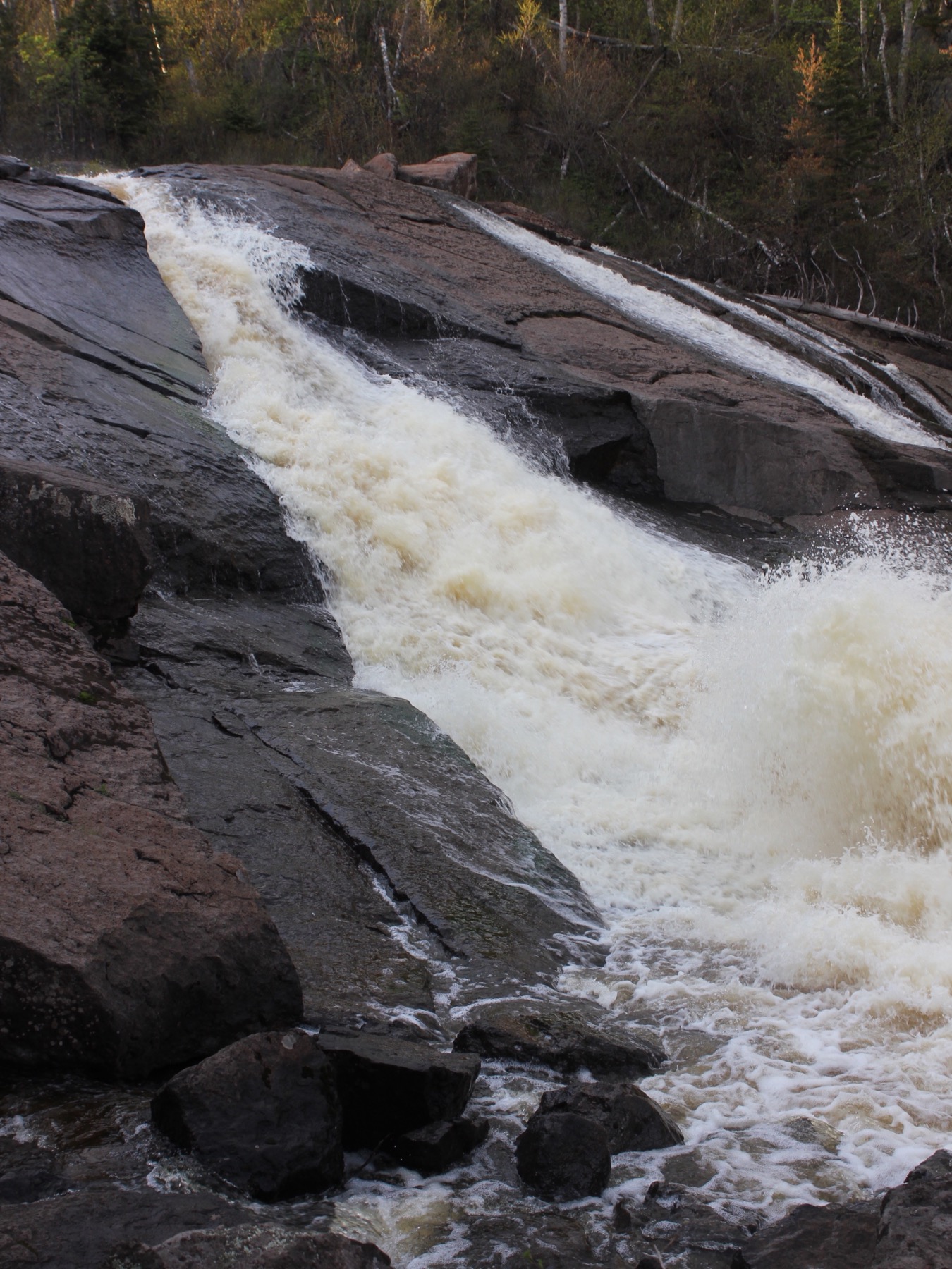
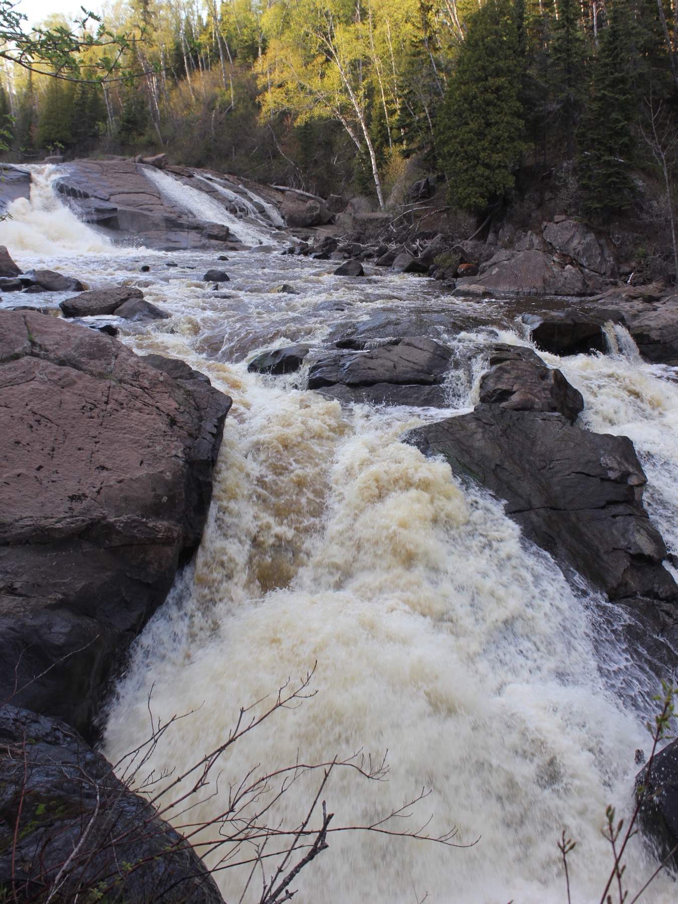
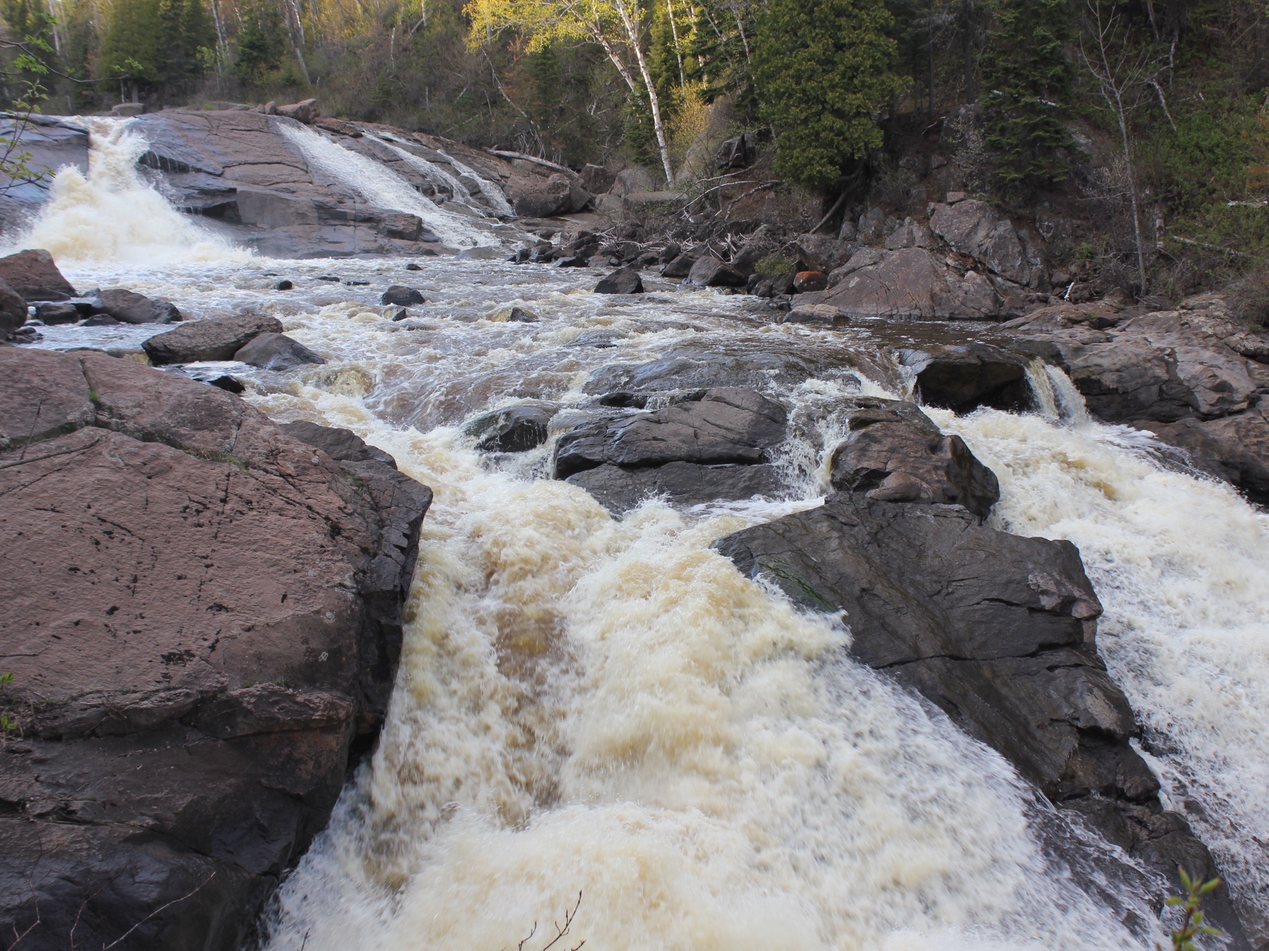
Beaver River Falls is located in Beaver Bay, a few hundred yards before the Beaver River enters Lake Superior, just upstream of the bridge on Highway 61. The falls are visible as you drive by, especially if you are heading south. There is a parking area on the south west side of the bridge. The easiest and quickest way to get a view of the falls is from the pedestrian walk way on the bridge, but it is possible to get down into the gorge for a closer view.
This waterfall gets pretty thin in the summer. There are other falls and cascades farther upstream. In fact Google Maps marks Beaver River Falls about a 1/4 mile upstream. I do not know if that is a more significant drop, or if there are trails to that location. Glen Avron falls, a low wide cascade on the Beaver River is a 3 mile drive away upstream of Beaver Bay.
[Lake Superior] [North Shore] Nearby Falls
Devil's Kettle Falls, the Upper Falls of the Brule River, the High Falls of the Pigeon River, Cross River Falls, Gooseberry Falls, and the Temperance River Gorge are all along Minnesota's north shore.
Photo Gallery
 |
 |
 |
 |
This page has been accessed
25261 times.
Last Modified:
Sunday, 11-Jun-2017 22:01:20 MDT.