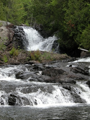
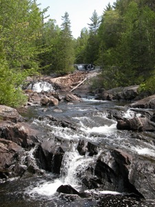
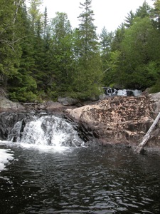
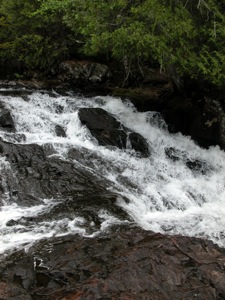
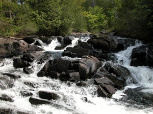
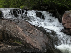
This is one of two wild waterfalls located on the Thessalon River between Carpenter Lake and Slide Lake. As far as I know neither of these falls has an official name. This is the upper of the two, and so I am calling it Upper Thessalon Falls. The falls consists of one big steep drop of about 5m, with some smaller cascades below, and a long series of cascades above the main drop. You can climb up the side of the big drop and walk along the river to see all the cascades up to the outlet of Slide Lake.
The falls are located along the Thessalon River trail, which starts near Carpenter Lake Cabins. The falls are about 6km from the cabins. You can drive about 2km if you are willing to cross a small stream. The last 4km are for foot traffic only. Along the way you will pass the Lower Falls. The trail from the lower to upper falls does not see as much traffic, and there was a bit of deadfall along the way.
Carpenter Lake is reached by a long drive on forest roads. Starting at Bruce Station, head north on Rte 638. After about 20km, Rte 638 turns left. Here you leave 638 and head to the right. Signs will guide you to Carpenter Lake. It is 30km. The road turns to gravel and gets bumpy and rocky in places, but a regular car can handle it just fine. There is active logging going on, so watch out for logging trucks. The road eventually crosses the inlet into the main lake. The first right beyond that leads to the trailhead. If you do not want to attempt the creek crossing, there is a wide open area after the first right where you can park.
As mentioned, I do not know any official names for these waterfalls. I also do not know if there are other waterfalls on the Thessalon River.
Nearby Falls
The Lower Falls is 2km downstream. Maps show a waterfall on a tributary of the Thessalon River on the west side of Carpenter Lake. There are probably other waterfalls hidden away in this wild and rocky area. Grindstone Falls is only 17km away as the crow flies, but to reach it by car you would have to drive over 100km on very rough roads, or head all the way back to Hwy 17, then east and north again for a total of 160km.
Photo Gallery
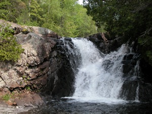 Main drop |
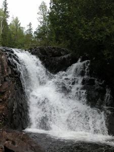 Main drop |
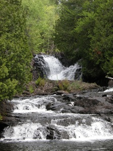 |
 Above the main drop |
 |
 |
 |
 |
This page has been accessed
27337 times.
Last Modified:
Saturday, 26-Nov-2011 11:05:52 MST.


