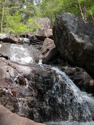
Grindstone Falls is a wild waterfall located on Grindstone Creek where it tumbles and slides into the Mississagi River valley. The waterfall consists of at least three sections, with a total drop of 30m or more. You cannot see the entire falls at once. The trail leads to the bottom of the falls, which is a long slide. Above this are two steeper sections. The photos below work their way up from the bottom to the top, with the photo above showing the section just above the first photo below.
The trail to the falls is about 3/4 km. The trail is fairly level, but has not received a lot of traffic or maintenance. There were some downed trees and other natural debris.
The biggest challenge to finding this waterfall is finding the trailhead. It is located along Hwy 129, about 3km north of Lafoe Creek. There is a sign for the falls, but it is set back under the trees, and very easy to miss. There were some ribbons tied to the trees, but again, very easy to miss. The waypoint for the trail head is 46.68988N 83.38052W. There is no parking at the trailhead, other than along side of the road. About a 1/2 kilometer north there is pulloff where you could park.
Unfortunately I saw Grindstone Falls after a long dry spell. The entire Algoma region was under a fire ban due to the lack of rain. This is the sort of falls that would look much better with more water.
Nearby Falls
Aubrey Falls is another 30km to the north on Hwy 129. According to the Atlas of Canada there are falls on some other nearby creeks, such as Lafoe Creek. This is not surprising given the impressive Mississagi river gorge. I do not know how large or accessible any of these falls are. This is a remote and rugged area where off trail hiking can be quite challenging. The easy to visit Bells Falls is about 30km to the south. Little Rapids is another 30km to the southwest.
Photo Gallery
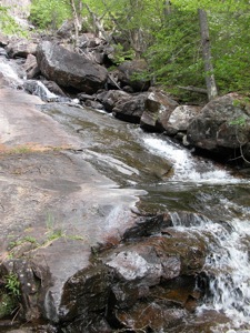 The final slide |
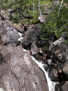 The middle section |
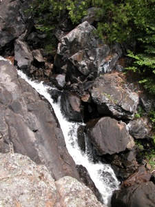 The middle section |
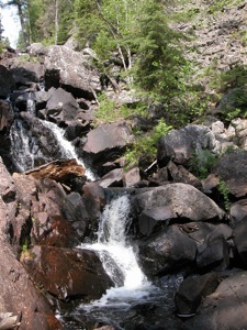 The bottom of the upper section |
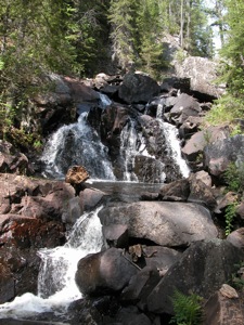 Upper section |
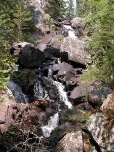 Upper section with uppermost(?) drop visible |
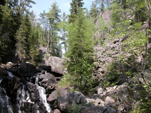 |
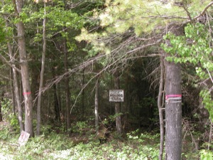 The trailhead |
This page has been accessed
32400 times.
Last Modified:
Thursday, 06-Jul-2017 17:15:44 MDT.


