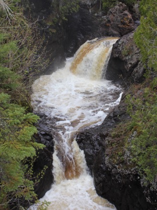
The Cascade River is aptly named. There are a large number of drops of varying sizes on its 17 mile course. It drops 900 feet in its final 3 miles, and there are 4 significant drops in the final quarter mile, all located in Cascade River State Park. In addition to the waterfalls, the narrow, twisted rocky gorge carved out by the river is fascinating.
The easiest way to visit the falls is to park at the parking area on Highway 61 at the mouth of the river. From here you can hike up either the east or west side of the river. A foot bridge crosses the river a quarter mile up, so you can make a loop of it. The lowest drop, which is also the largest, and may be the official "Cascade Falls", is only visible from the west side. The next two drops are right on top of each other. The second drop is not easily seen from either side of the river. The third drop is best seen from the east side. At the foot bridge there is a series of drops called the "Cascades". These are smaller drops, but maybe the most scenic.
There are number of other falls farther upstream on the Cascade River, which can be seen from the Lake Superior Hiking trail. It is a 7.2 mile loop trail. The views are said to be better from the west side.
I visited the falls late on a rainy day. A mist was rolling in from the lake which made things very atmospheric, but was not the greatest for good photos of the lowest falls.
[North Shore] Nearby Falls
There are a lot waterfalls along Minnesota's north shore. North of Cascace River you will find Devil's Kettle Falls, the High Falls of the Pigeon River, plus several others. To the south you will encounter the Temperance River Gorge, Cross River Falls, Caribou Falls plus a whole bunch more.
Photo Gallery
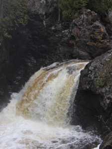 Cascades |
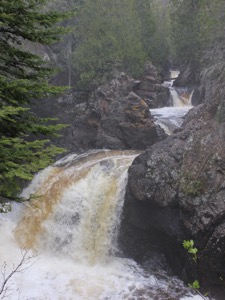 Cascades |
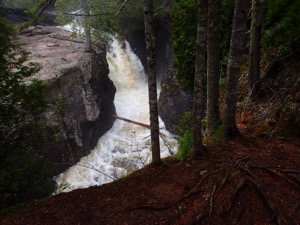 Third to last drop |
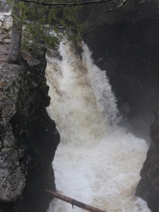 Third to last drop |
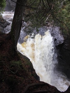 Second to last drop |
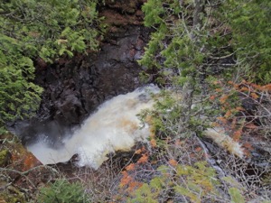 Second to last drop |
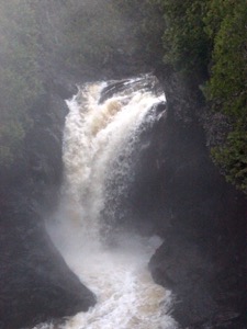 Misty last drop |
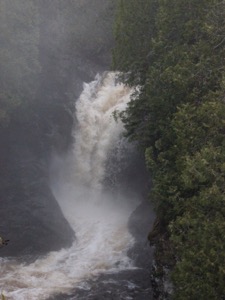 Last drop |
This page has been accessed
22464 times.
Last Modified:
Saturday, 24-Jun-2017 08:20:07 MDT.


