


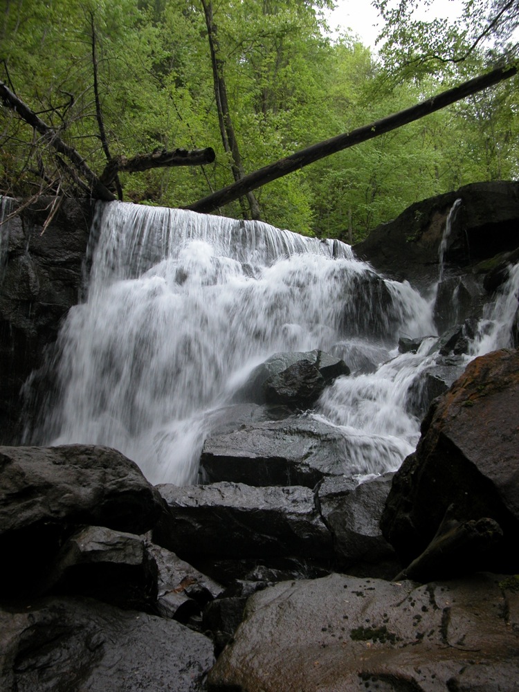
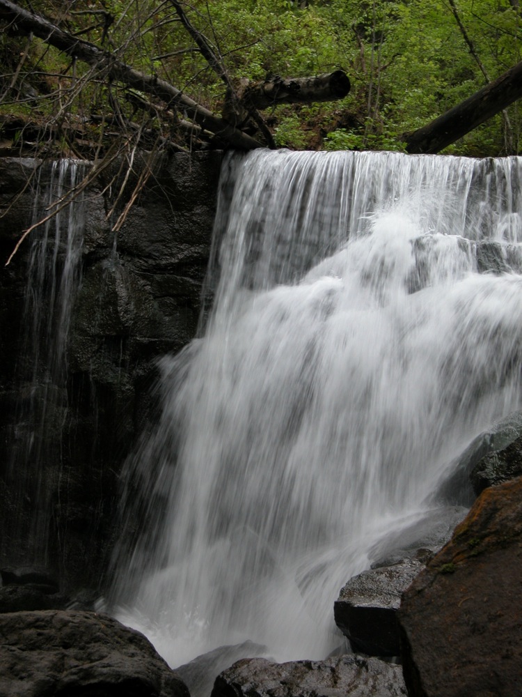
Wolf Creek empties into the New River very close to the famous bridge over the gorge. The creek tumbles over many rapids on its way down and has one big fall of 15'. The falls is located along side Fayette Station Road, the old road across the river, but unfortunately it is at least 50' below the road. To see the falls requires a steep climb down into the Wolf Creek gorge. On the plus side, a seasonal side falls is easily seen from the road, as are some smaller rapids on Wolf Creek.
To reach the falls you need to take the old Fayette Station Road down into the gorge. Start at the overlook for the New River Gorge Bridge. The bridge is quite impressive, and worth a look in any case. The narrow road climbs down into the gorge, crosses under the big bridge a couple of times, crosses the river, and then starts to climb back up.
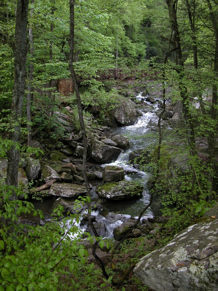
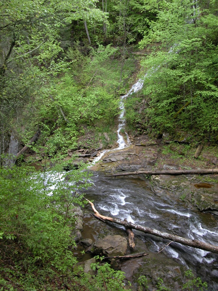
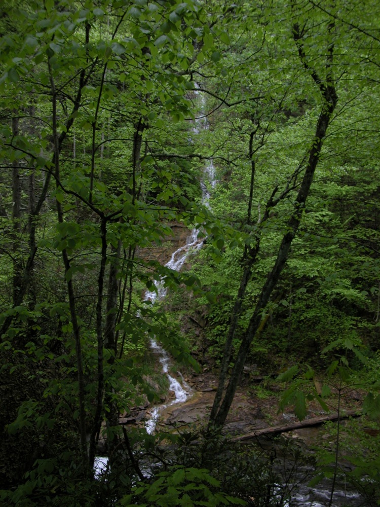
The road crosses Wolf Creek shortly after it begins climbing. From here you can see some small rapids below the falls. I do not know how hard it would be to clamber up the creek from here to find the falls. The road continues climbing. When it makes a hairpin turn to the right, there is a pull off for the trailhead for the Kaymoor Trail. From here you can easily see the side falls. If you hike up the trail a short distance, it crosses the side falls, and you can get a good up close view of the top portion of the falls. The trail continues to climb up to the top of the gorge, passing old mining relics, and another small falls near the top. To see the falls on Wolf Creek, you have to go back to the pull out, and clamber down. This is not trivial.
Like most of the falls in this area, Wolf Creek gets pretty thin in drier months. I believe it has a larger watershed than some of its neighbors, but it is still best seen during the wet season.
Nearby Falls
As mentioned, if you hike up the Kaymoor Trail, you will find another small seasonal falls near the upper trail head. As you drive out of the gorge, you will go right past Marr Creek Falls. Across the gorge is Fern Creek Falls. In wet weather this can be seen from the New River Gorge Bridge. Getting to it on foot is not easy, and requires a difficult bushwhack and/or climbing gear. A bit further away, you can find Laurel Creek Falls about 8 miles to the north along Route 16, but you will not find it easy to see while driving north. Dunloup Falls is a 15 mile drive to the south.
Photo Gallery
 |
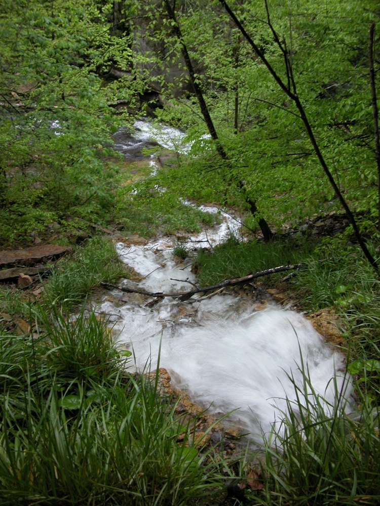
 Downstream of the falls |
 Upstream of the main fall |
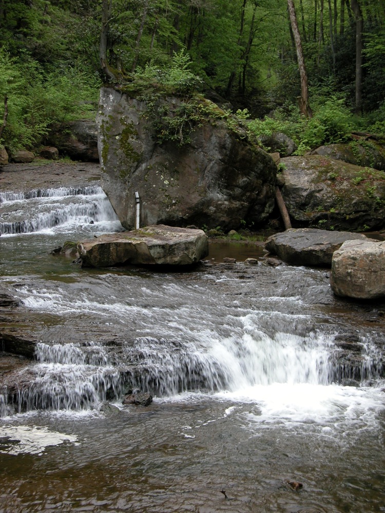
 The side falls meeting Wolf Creek just above the main fall |
 The side falls |
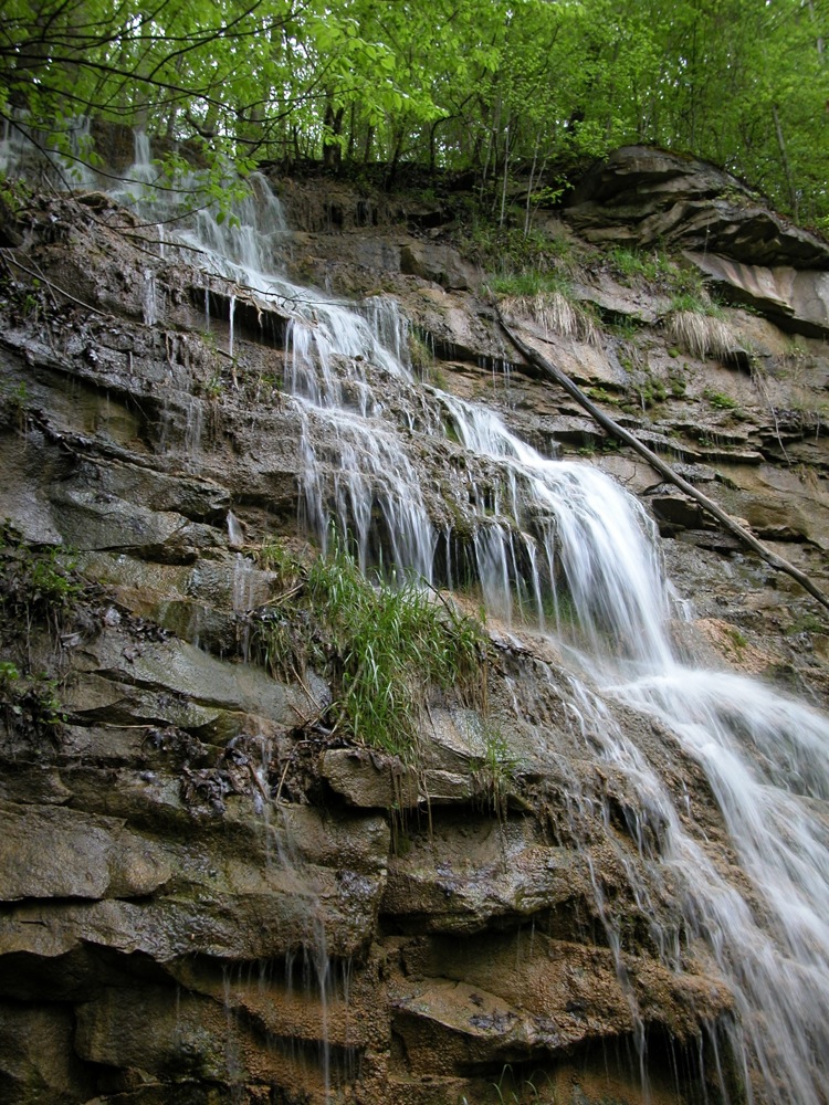 Top part of side falls |
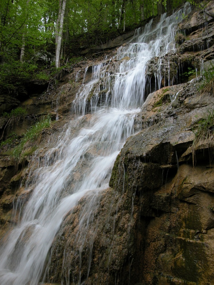 Top part of side falls |
 Looking down the side falls |
This page has been accessed
54640 times.
Last Modified:
Saturday, 19-Sep-2009 20:23:08 MDT.