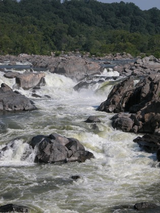
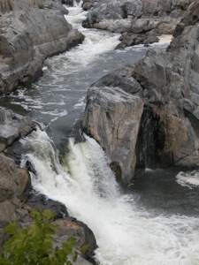
The Great Falls of the Potomac are located at the fall line of the Potomac River. The river drops over 70 feet in less than a mile. There a couple of 20' drops. The number and height of the distinct drops varies greatly with the water levels. During floods the falls becomes one massive boiling rapids. In late summer the rocks dominate the scene. The falls probably looks its best somewhere in between. The pictures on this page show it in early July and during a dry August.
The falls technically lie almost entirely inside of Maryland, but they can be viewed from Virginia or Maryland. In Virginia you can see the falls from Great Falls Park. There are three established vantage points from which to view the falls. You can also climb down into the gorge down to the water below the falls. There is no way to get particularly close to any of the drops, unless you have a kayak.
From Maryland you can see the falls from the Chesapeake & Ohio Canal National Historic Park. There is a trail from the tow path out to Olmstead Island. The trail crosses a number of narrow channels of the Potomac. Some of these would be significant sites all by themselves elsewhere. Personally I found the Maryland side to be much more interesting.
Nearby Falls
There are some named rapids downstream of the Great Falls. Otherwise this is an isolated falls. Cunningham Falls is a 1.5 hour drive away. White Oak Falls and the other falls in Shenandoah National Park are 2 hours away.
Photo Gallery
 |
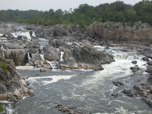
View from Virginia |
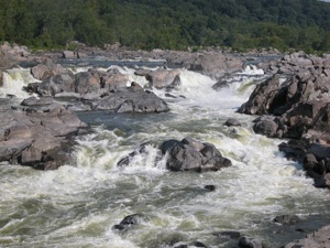
View from Maryland |
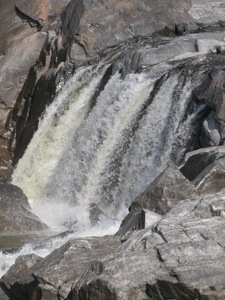
|
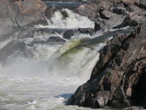
|

Kayaking below the falls |
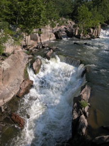
Part of the eastern channel |
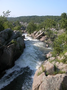
Part of the eastern channel |
This page has been accessed
46014 times.
Last Modified:
Friday, 08-Jul-2011 17:32:56 MDT.


