


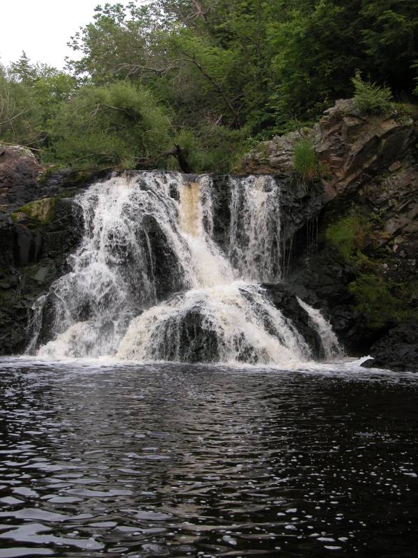
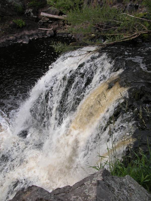
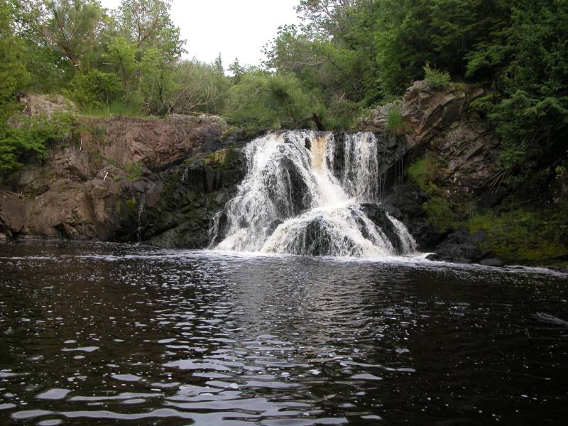
This waterfall is located on the Montreal River just a few miles upstream of Saxon Falls. The Montreal River forms part of the border between Michigan and Wisconsin so the falls is technically in both states, and can be visited from either state, but it is most easily visited from the Wisconsin side.
There seems to be some confusion about what this waterfall is named, or at least I am confused. Some sources refer to this as Peterson Falls, and the sign on the highway says "Peterson Falls". However others say that this falls is Interstate Falls and that Peterson Falls is a smaller waterfall upstream of Interstate Falls. I have decided to go with Peterson Falls until I learn otherwise.
From Hurley head west for about .6 miles. This is just past the US 2/US 51 interchange. Look for the large Ero Nasi Construction sign and the smaller Peterson Falls sign. Turn right onto the gravel road. Follow this road a short distance (.3 miles) to a small turn around. Park here. The trail follows the river bank. It is about a 10 minute walk to Peterson Falls. The other waterfall is apparently in this same area and much closer to the parking area.
You can reach the gravel road if you are heading east but it is easy to miss because US 2 is a divided highway here. There is no "Peterson Falls" sign for eastbound traffic.
There are no fences here and you can get right down to the base or top of the falls. The area looks fairly wild despite the fact there is a house just downstream on the Michigan side of the falls.
Here is a 7 second movie of Peterson Falls.
Sadly like many other waterfalls, public access to Peterson Falls is endangered. The land the falls are located on is up for sale. For more information, see http://www.petersonfalls.org/. If only I had $250,000 to spend to preserve this falls for everyone.
[Lake Superior] [Iron County] Nearby Falls
There are a lot of waterfalls in this area. Superior Falls and Saxon Falls are both downstream on the Montreal River. Potato Falls is about 20 miles away to the west. Black River Scenic Byway are about 20 miles to the north east, and Gabbro Falls and Powderhorn Falls are both about 11 miles to the east.
Photo Gallery
|
|
This page has been accessed
97495 times.
Last Modified:
Wednesday, 06-Feb-2013 20:33:51 MST.