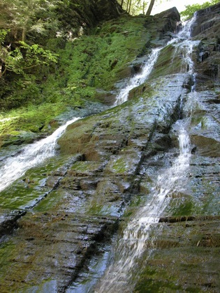
Conklin Gully is located just outside of Naples New York. The gully is located in the High Tor Wildlife Management area, and is open to the public. This is not as well advertised as Grimes Glen back in Naples, and the stream carries less water, but it is a great place to explore. Like other gullies in the area, you will need to do some climbing if you want to see everything.
The mouth of the gully is located on Parish Hill Road, just a short distance from Route 245. There is a signed parking area on 245 just east of Parish Hill Road. The main "trail" is simply the creek bed. You have to be willing to get your feet wet, assuming you are visiting when the water is running.
A 1/4 mile from the parking area the creek turns s sharply to the left (facing upstream). There is a cascading falls here that you can walk up with some effort. Some ropes were available to help with the ascent the first time I visited, but were gone a couple years later. This leads to an open area surrounded by sheer walls over a 100 feet high, and a larger (20'), steeper waterfall.
For lots of folks, this is the end of their hike, but the adventurous can climb this waterfall to see even more. Above this falls is a narrow section of the gorge where you have no choice but to walk in the stream. You will have to navigate a couple of small falls. You will reach another impressive ampitheatre and another cascading falls. There are ropes to help climb past this falls up to the next section of the gorge.
The next section of the gorge is more open. You can also reach this section from trails along the rim. There is a parking area somewhere, possibly off of Shay Road. You can also reach the rim trails from the mouth of the gully. As you continue up stream you will pass more small falls, and one steep 15' falls. The creek forks. Follow the right fork (facing upstream). There is a section where the creek has been buried by a landslide. Finally you will reach a big falls over 50' high. This is an impressive falls. The water was a bit low when I saw it. This is the end of the trail, unless you are willing to climb up the very steep sides of the gorge, or, as some people do, climb up the waterfall. I do not believe there are any more falls above this one.
To reach this gully from Naples, head northeast on Route 245 for about 2 miles. There is a parking area on Route 245. At the mouth of the gully, a less obvious trail leads up the hill to the Angel Falls overlook and the rim trails. From the rim trails you can get down into the upper part of the gorge without having to climb the two waterfalls.
Angel Falls plummets into the gorge somewhere, but I did not see it while in the gorge. It was probably nearly dry when I was there, but I was suspecting to see some evidence of it.
The watershed for this creek is small, and the creek can go dry in the summer. If you want to see the waterfalls at their best, visit after a good rain. Of course this makes creek walking harder, and if there has been too much rain, the creek becomes dangerous.
Here are some pictures of the falls in the gully when the water level was considerably higher.
[Finger Lakes] Nearby Falls
The Naples area is full of glens and gullies (I am not sure what the difference is). If you head 2 miles east on 245 you will be back in Naples where Grimes Glen and Tannery Creek are located. 2 miles west on 245 will take you to Clark's Gully. Dozens of other waterfalls are within an hours drive.
Photo Gallery
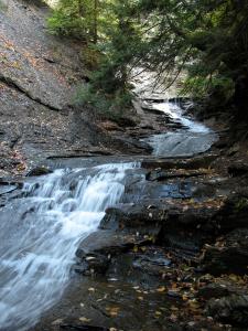 The first falls |
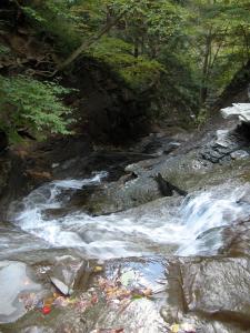 The first falls from top |
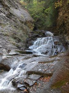 The second falls |
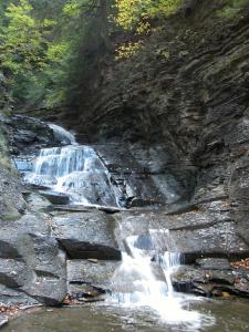 The second falls |
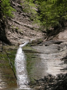 The third falls |
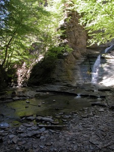 The third falls |
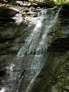 The fourth falls (15'?) |
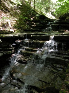 A small falls |
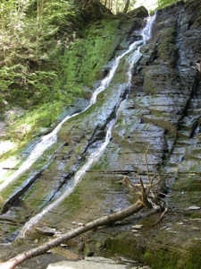 The big falls |
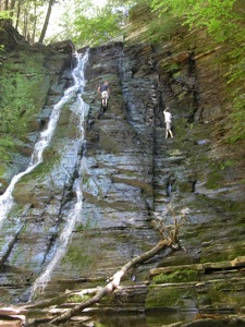 Climbing the big falls |
This page has been accessed
123749 times.
Last Modified:
Wednesday, 05-Jul-2017 17:52:23 MDT.


