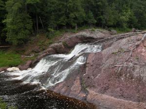
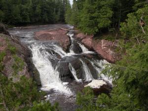
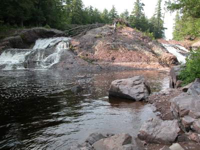
Great Conglomerate falls is the first of the five main waterfalls on the Black River Scenic Byway. Here the river slides down 20 feet around a large chunk of conglomerate rock, hence the name of the falls. It is hard to get a picture of the full waterfall from the observation area. The two segments of the waterfall are pictured separately below plus a composited image of the entire falls.
The Black River Scenic Byway starts north of US 2 near Bessemer. There are signs on US 2. Great Conglomerate Falls is about 14 miles north of US 2. The scenic area is on the right and is clearly marked. It is about a 3/4 mile walk to the falls. This is the longest walk for any of the Black River falls.
Nearby Falls
Potawatomi Falls, Gorge Falls, Sandstone Falls, and Rainbow Falls are all downstream. The minor Algonquin and Chippewa Falls are further upstream. North of Ramsay on the Black River you can find Gabbro Falls. It is a 40 mile drive to Manabezho Falls. To the west along the Wisconsin/Michigan border you can find Saxon Falls and Superior Falls.
Photo Gallery
 The right side |
 The left side |
 Composited Image |
|
This page has been accessed
75647 times.
Last Modified:
Saturday, 26-Sep-2009 09:44:33 MDT.


