


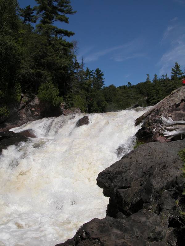
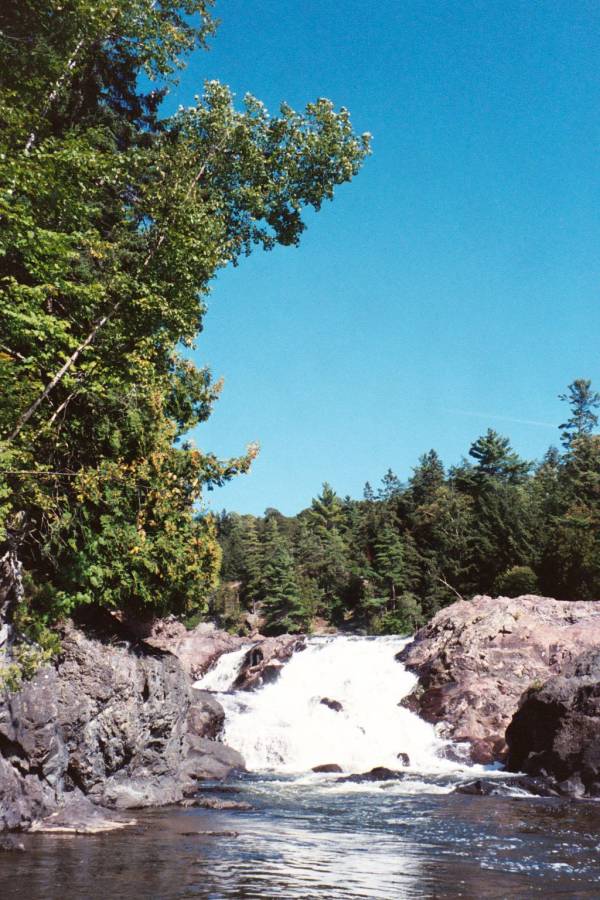
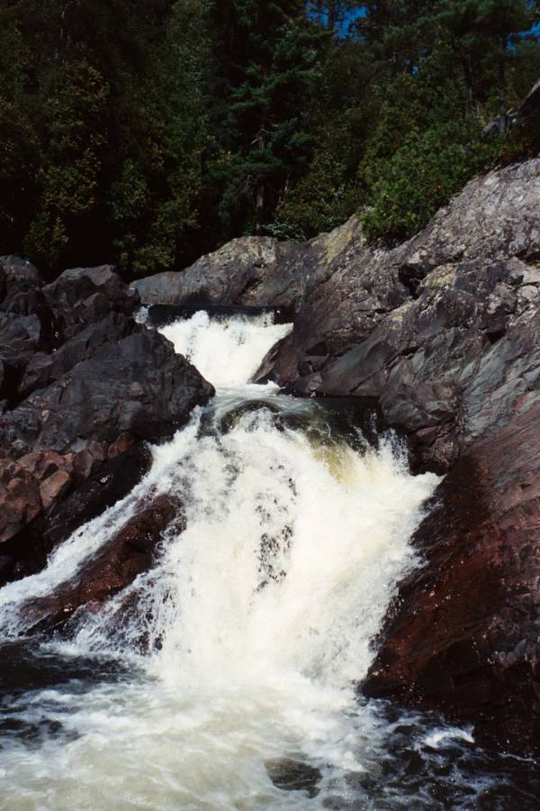
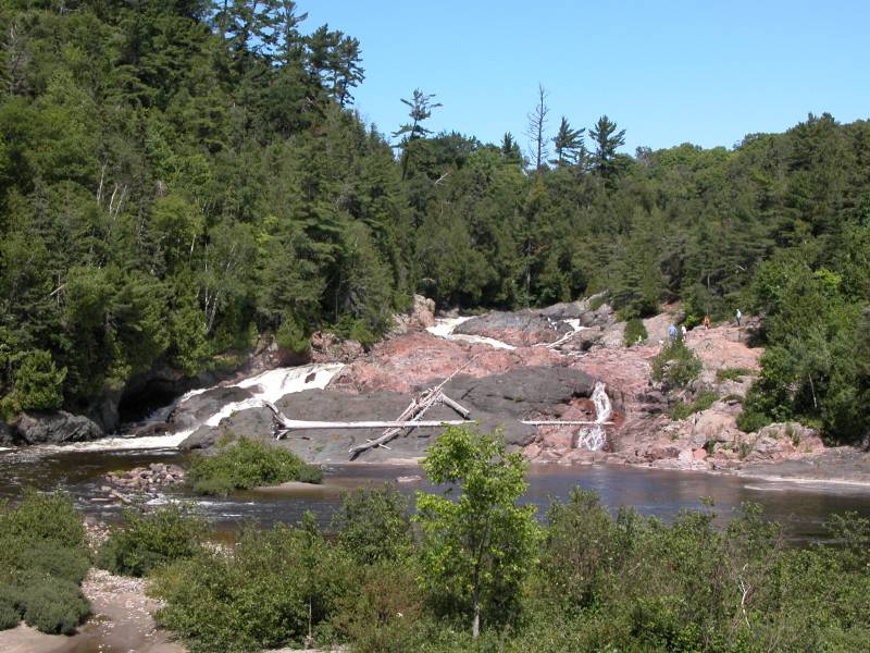
The Chippewa Falls are right along Highway 17, about 30 miles north of Sault Ste. Marie and 90 miles south of Wawa. There is a roadside park. The falls are visible from the road. This is a complicated falls consisting of several drops. You can walk up either side of the falls, and climb on the rocks. This is also the midpoint of the Trans-Canada highway.
You can see what Chippewa Falls looks like from above courtesy of Google Maps.
[Lake Superior] Nearby Falls
Batchawana Falls are to the north along Hwy 17. Agawa Falls, Sand River Falls, Gargantua River Falls and Baldhead River Falls are beyond that in Lake Superior Provincial Park. Crystal Falls are to the south in Sault Ste. Marie.
Photo Gallery
 August 2002 |
 August 2002 |
 August 2003 |
|
This page has been accessed
83798 times.
Last Modified:
Friday, 25-Sep-2009 20:35:28 MDT.