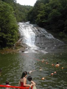
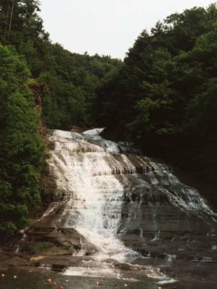
Buttermilk State Park is on Route 13, south west of Ithaca. It is on the map and is easy to find. The falls are clearly visible from the entrance to the park. There is a swimming area at the base of falls, complete with life gaurds. The gorge trail is 3/4 miles long and very steep in places. The trail gains 500 feet in elevation. Some other minor falls can be seen along the way, as well as swimming holes favored by the locals (the signs say no swimming). The gorge trail was a little frustrating because there was no good way to get nice views of what seemed to be the most interesting parts. In particular, just above the main fall where the creek takes a sharp turn, there seemed to be a lot of interesting stuff going on but no way to really look at it. Maybe there are other trails, or maybe you just have to ignore all the danger signs. I was not at the park long enough to really explore.
Other websites claim that there are 10 major falls along the gorge. They must be using a very generous version of the word 'major'. I walked the entire gorge, and unless all 9 of the 'major' falls are in the one little section I could not see, there is only one major fall in the gorge. Buttermilk Creek drops a total of 500 feet in the park, and you will see listings saying that Buttermilk Falls is 500 feet high. However this 500 feet is spread out over many drops.
[Lake Cayuga & Lake Seneca] Nearby Falls
Ithaca Falls, Cascadilla Gorge, Taughannock Falls, Lucifer Falls and I am sure a dozen other waterfalls are all within 15 miles. Hector Falls,Watkins Glen, She-Qua-Ga Falls, Eagles Nest Falls and probably a hundred others are within an hour's drive.
Photo Gallery
 Swimming at the Falls |
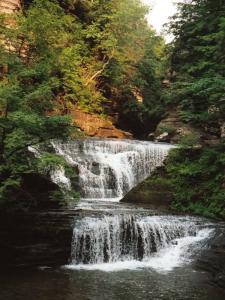
 An Upper Drop |
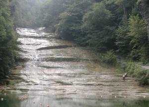
 Low Water, September 2003 |
|
This page has been accessed
144372 times.
Last Modified:
Monday, 21-Sep-2009 21:03:22 MDT.


