


Tioga Falls is located in West Point Kentucky, which is about 8 miles north of Fort Knox and about 30 miles south of Louisville. The falls is located on land belonging to Fort Knox and is sometimes off limits due to military exercises. This is the only waterfall in this part of Kentucky as far as I know.
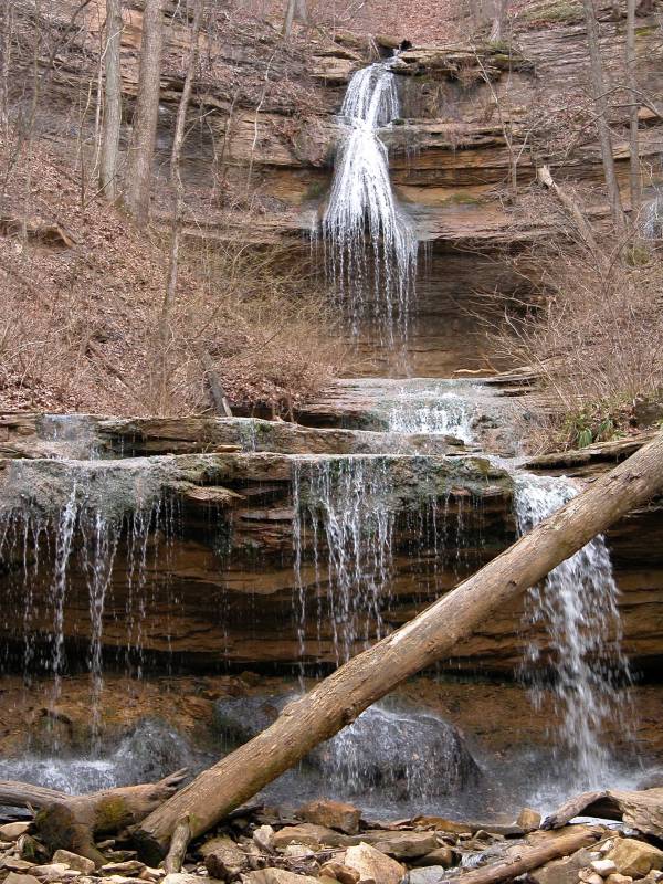
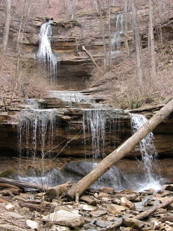
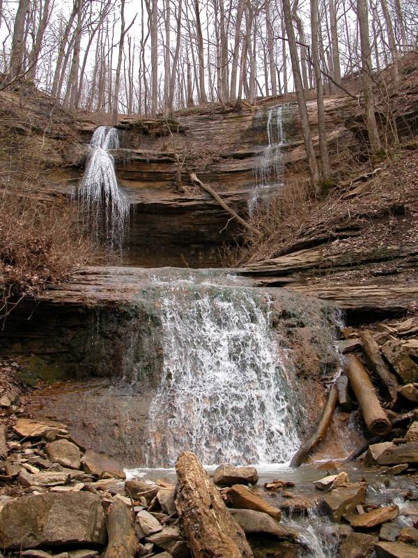
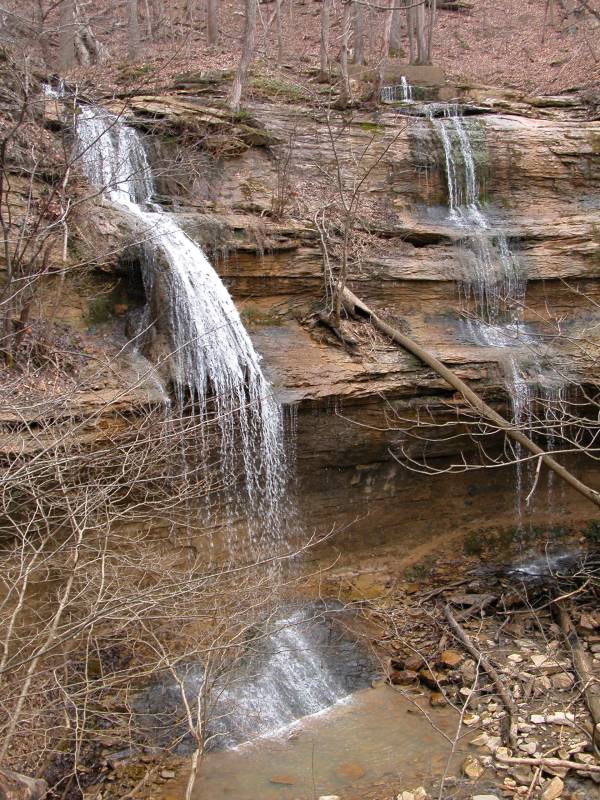
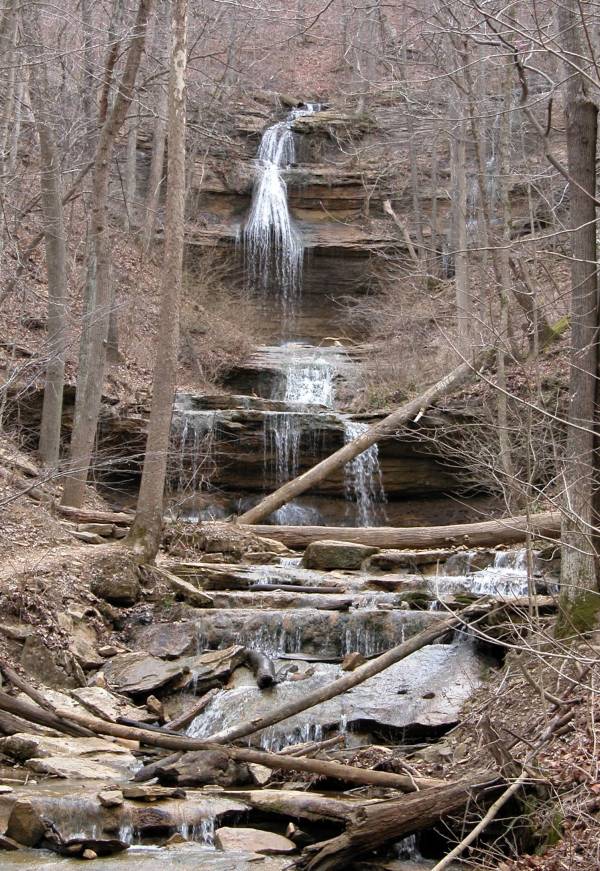
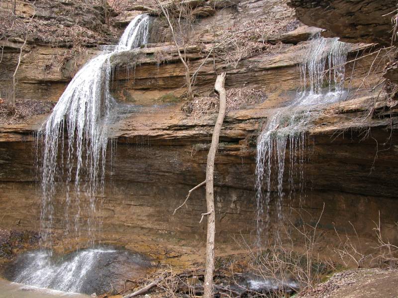
Tioga Falls consists of a number drops, each separated by a short distance. The uppermost drop is a twin fall, and it is the highest, being at least 30 feet high.
From the looks of it, Tioga Creek never has a lot of water and this waterfall can get pretty thin in the summer.
Reaching the falls is not difficult, but it is not well advertised. Tioga Falls is located east of US 31 near West Point. There are no signs for the falls on the highway, but there are signs for "Bridges to the Past", which is located in the same place. There is flashing yellow hazard light on US 31 marking the road that leads to the trailhead. I did not notice a road sign here, but it is roughly opposite of Business US 31, and according to MapQuest it is route 835. It is less than a mile from US 31 to the trailhead. The hiking trail to the falls is an old road and is over a mile long. It is uphill, but not too steep, for the first half, and downhill for the rest. You are asked to remain on the trail at all times.
Nearby Falls
Tioga Falls is somewhat isolated. All of the other Kentucky waterfalls are a couple of hours to the east. Indiana's Clifty Falls is 90 miles to the north.
Photo Gallery
|
|
|
|
|
|
This page has been accessed
174708 times.
Last Modified:
Monday, 28-Nov-2011 15:29:06 MST.