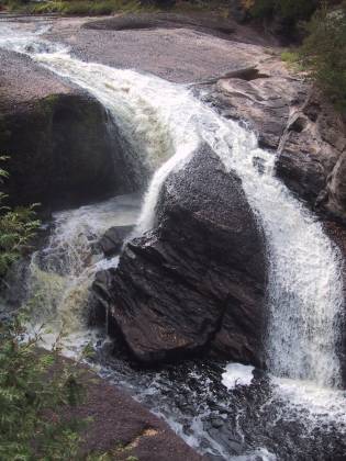
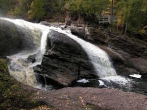
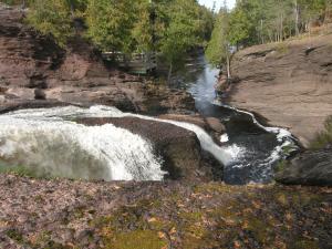
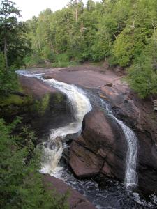
This is the last of the main falls on the Black River before it enters Lake Superior. This is an interesting waterfall. Unfortunately the best views are from the east side of the river and the observation deck is on the west side of the river. The hike from the west side trailhead is 1/2 mile. In my opinion the smarter thing to do is to drive down to end of the Black River Scenic Byway, cross the river and hike back up to the falls. A supsension bridge takes you across the river and a mile long, scenic, and mostly level trail, takes you back to the falls. The views are far superior. In low water you can wade across the river above the falls.
The Black River Scenic Byway starts north of US 2 near Bessemer. There are signs on US 2. Rainbow Falls is about 16 miles north of US 2. The scenic area is on the right and is clearly marked. It is about a 1/2 mile walk from the parking area to the falls. There are a lot of stairs at the end.
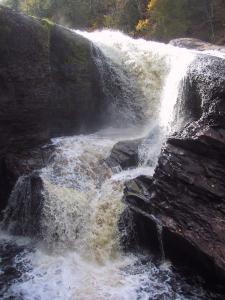
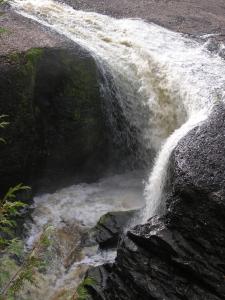
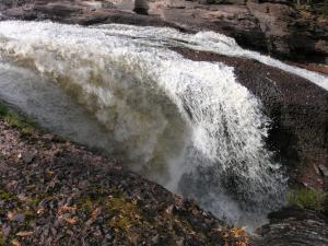
The waterfall has carved out a large pothole. Most of the river falls into the pothole, but some of the water, depending on how high the river is, goes around or jumps clear over this hole.
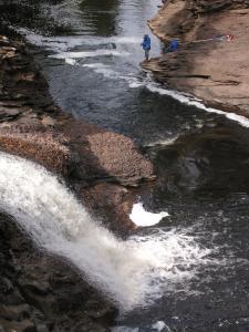
If you look carefully at the bottom left picture you will see a rubber raft trapped behind the falls. I am not sure what the story behind that is. :)
[Lake Superior] [Gogebic County] Nearby Falls
From Rainbow Falls you can hike or drive upstream to see Sandstone Falls, Gorge Falls, Potawatomi Falls and Great Conglomerate Falls. The minor Algonquin and Chippewa Falls are further upstream. North of Ramsay on the Black River you can find Gabbro Falls. It is an 8 mile hike along the North Country Trail or a 40 mile drive to Manabezho Falls. To the west along the Wisconsin/Michigan border you can find Saxon Falls and Superior Falls.
Photo Gallery
 |
 |
 |
 |
 |
 |
 July 2004 |
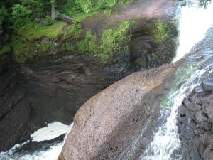 View from observation deck |
This page has been accessed
84243 times.
Last Modified:
Sunday, 20-Sep-2009 09:56:07 MDT.


