


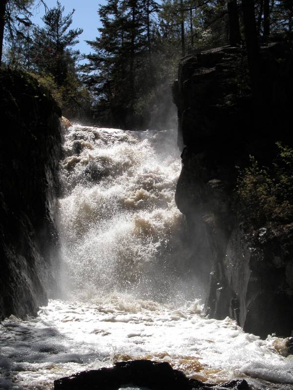
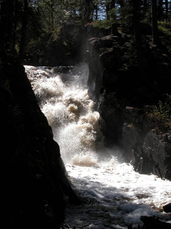
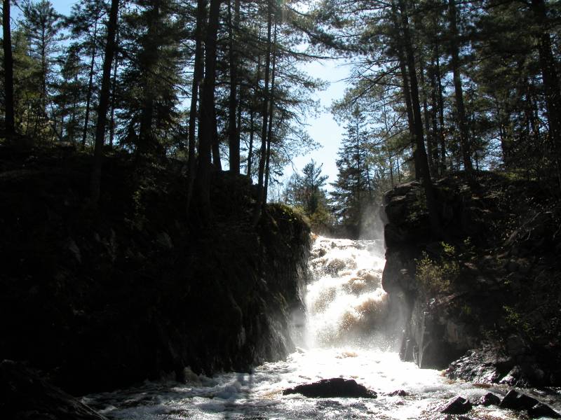
Black River Falls is 8 miles south west of Ishpeming off of Country Road 581 in the Escanaba River State Forest. The Black River surges through a narrow channel here. When viewed from the front, the falls looks like a plunge, but it actually slides down the rock at a relatively gentle angle. That is fairly typical of the type of waterfalls you find in this rocky country. This Black River is not to be confused with the Black River Scenic Byway.
To reach the falls from US-41, head south on County Road 494. The local name for this road is N Lake Dr. The intersection is mile or so west of the road to downtown Ishpeming. There is a blinking light at this intersection and a car dealership on the southeast corner. Lake Dr curves to the left and becomes Greenwood St, which heads east. Take a right onto Washington St. There is a sign for "National Mine" here. You are now heading south. Go about 1 mile and turn right onto Saginaw Street, which is the local name for County Road 581. Follow this road for about 8 miles. There will be a small sign for the falls on your right. The road to the falls is a forest road that goes through what looks like some recently clear cut forest. There are a few more turns, but there are signs to tell you which way to go.
From the parking area it is a short walk to the falls. There are some nice tall pine trees here, but there are also a large number of downed trees. It looks like a wind storm or something must have hit here a few years ago and knocked down a significant percentage of the trees.
The Black River flows into the Escanaba River, which flows into Lake Michigan, making this waterfall part of Lake Michigan's watershed. However it is probably much easier to visit while circling Lake Superior than Lake Michigan. It is only about 10 miles off of the Lake Superior Circle Tour. It is over 60 miles off the Lake Michigan Circle Tour.
I visited the falls in the late afternoon on a sunny day when the sun was behind the falls. This is not a good time to visit the falls if you want to take a picture. The sun on the falls is so bright that everything else is mostly lost in shadow. The photos have a certain mystery to them, but I would have liked to have had a bit more of the details of the rocks and trees be visible.
Here is a short movie taken from the side of the falls.
[Marquette & Baraga County] Nearby Falls
This is one of many waterfalls in Marquette county, but most are located a fair distance to the north. Alder Falls for example is nearly a 50 mile drive away. There are a couple of waterfalls near Palmer Michigan, such as Warner Falls, which is about 12 miles to the east as the crow flies, but the roads are winding and much longer. Canyon Falls is about 50 miles west of Ishpeming along US-41.
Photo Gallery
 |
 |
 |
|
This page has been accessed
139305 times.
Last Modified:
Friday, 25-Sep-2009 20:51:58 MDT.