


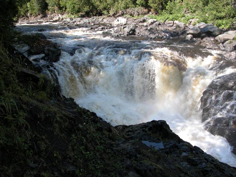
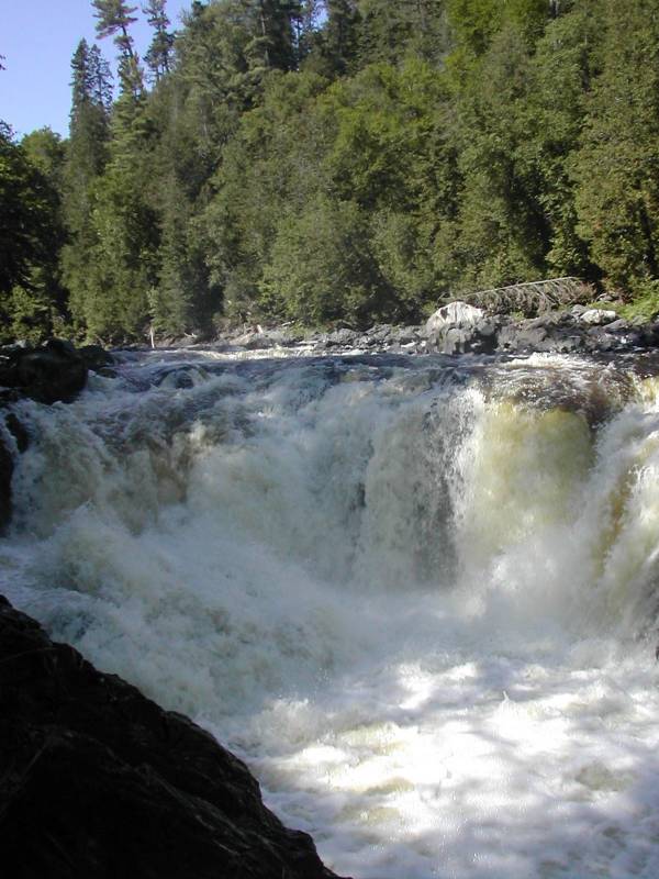
Batchawana Falls are just south of Batchawana Bay Provincial Park. The falls are off of Tribag Mine Road, a logging road off of Hwy 17. If you are heading north on 17, take a right onto Tribag. The falls are 7 kilometers (4.2 miles) away from 17. Tribag is a rough one lane road, and it is being actively used by logging trucks, so be careful. The falls are located below a bend in the road. The falls are not really visible from the road. The road curves to the right, and there is a rock wall to the left, over which a small creek flows. There is not much room to park. There are signs indicating how many kilometers from Hwy 17 you are. If you see the 8 kilometer sign, you have gone too far.
You can climb down into the gorge. Getting down to the river is tricky, but doable. There are apparently other waterfalls further upstream.
[Lake Superior] Nearby Falls
Crystal Falls is 68 km to the south, and Chippewa Falls is 15 km to the south. The Sand River Falls and other Lake Superior Provincial Park waterfalls are 20km to the north.
Photo Gallery
 |
 |
This page has been accessed
75319 times.
Last Modified:
Saturday, 02-Feb-2013 14:46:54 MST.