


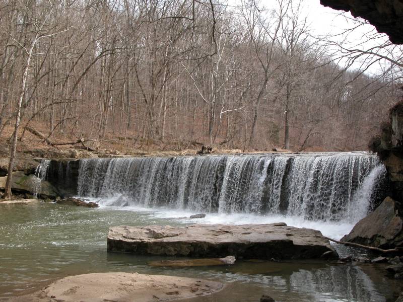
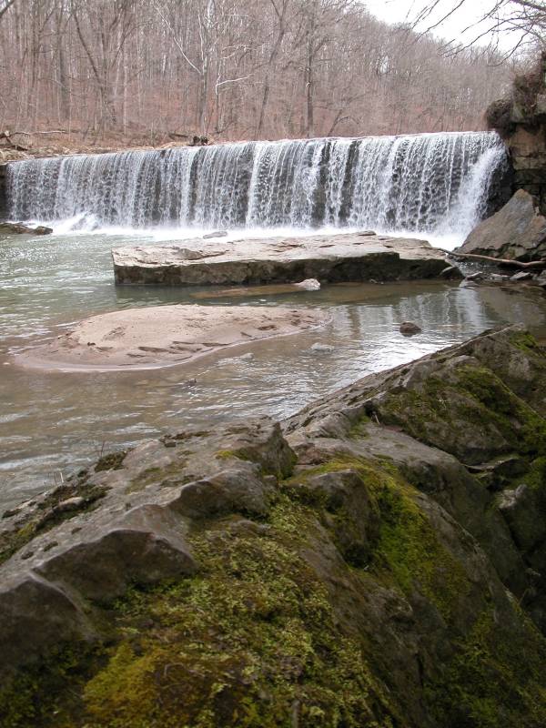
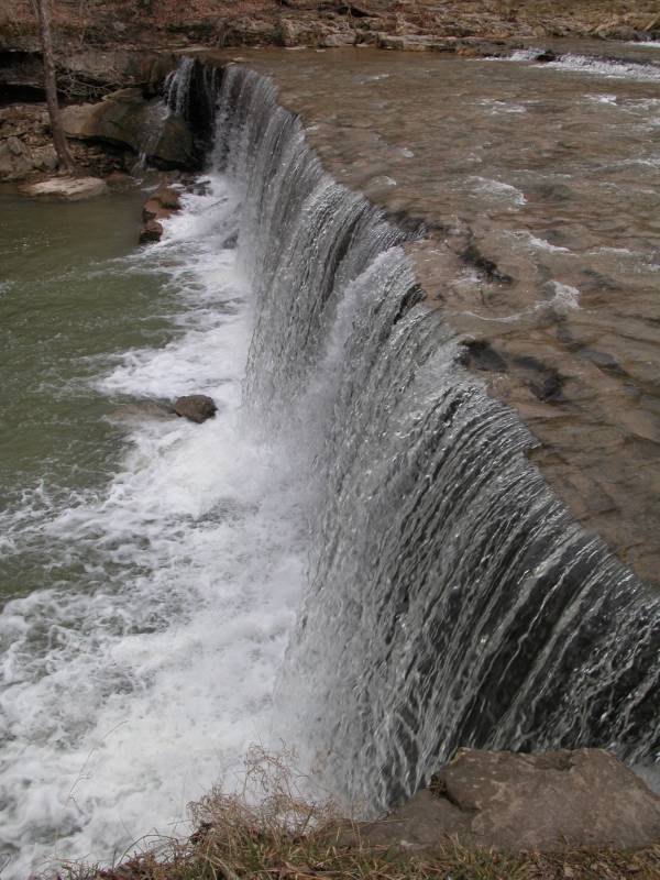
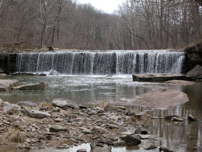
Anderson Falls is a low, wide waterfall located about 50 miles southwest of Indiana, and 15 miles east of Columbus. Here the Fall Fork of Clifty Creek drops over a 10+ foot high ledge. The falls is located in the Anderson Falls Park/State Nature Preserve. There is a parking area, pit toilets and nature trails.
The falls is right alongside the road and it is very easy to get down to the base of the falls. The walls on the near side of the falls are undercut forming a very small rock house. This is clearly a hangout for the locals with lots of grafitti and broken glass as evidence.
The far side of the creek is the nature preserve. You have to walk across the creek above the falls to reach the trails there.
To reach the falls from I-65, exit at State Route 46 and head east for about 15 miles. 46 winds its way through the Indiana country side. You will eventually pass through the small town of Newbern. Turn right (south) onto CR 925 E. This turns left almost immediately and becomes CR 200 N. Follow this for about 2 miles. Turn left (north) onto CR 1140 E. There is a sign here. The parking area will be on your left a few hundred yards beyond the sign.
Here is a short movie of Anderson Falls. Here is a satellite view of Anderson Falls, courtesy of Google Maps.
Nearby Falls
This is a somewhat isolated waterfall. Clifty Falls State Park is an hour plus drive to the south. The small Rock Rest Falls is about 30 minutes to the south.
Photo Gallery
 |
 |
 |
|
|
|
This page has been accessed
152622 times.
Last Modified:
Wednesday, 05-Jul-2017 18:13:17 MDT.