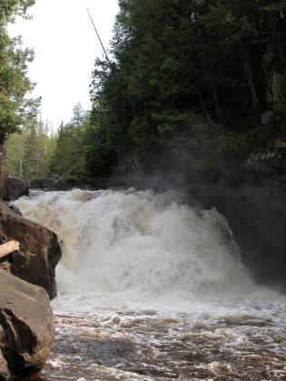
Sturgeon Falls is located in the Sturgeon River Gorge Wilderness in Ottawa National Forest. The Sturgeon River has carved out a deep, forested gorge, that is 300 feet deep in some places. The falls are located deep in the gorge. The drop is only 25 feet, but the river is very powerful. Above the falls the river is well over 100 feet wide. It then narrows into a chute only about 20 feet wide before shooting over the falls, spraying mist in all directions.
The falls is in a remote area, but reaching it is not all that difficult. From Baraga, head west on M-38 for about 15 miles until you reach Pitchett Dam Road. There is a sign here for Pritchett Dam, Silver Mountain and Sturgeon Falls. Unfortunately this is the last sign for Sturgeon Falls until you actually reach the trailhead. At this point follow the signs for Silver Mountain. After about 8 miles, the road to Silver Mountain branches to the right. Go to the left. You will reach a bridge after about 1 mile. The parking area for the trailhead is 3 miles past the bridge. The roads are dirt but in good shape and should give a normal car no problem.
The trailhead is across the road from the parking area. The trail is about 3/4 of a mile and is level for the most part, except for a steep descent into the gorge. The waterfall is wild and undeveloped. There are no fences or platforms, just rocks from which to enjoy the falls.
Here is a short movie of Sturgeon Falls. Here is a second movie.
If you continue driving past the trailhead for a short distance you can find some nice overlooks of the gorge. This is a tree filled gorge with little exposed rock.
[Lake Superior] [Baraga & Marquette] Nearby Falls
The much easier to visit Canyon Falls is also on the Sturgeon River.
Photo Gallery
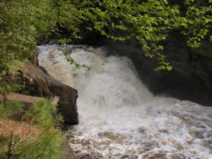 May 2006 |
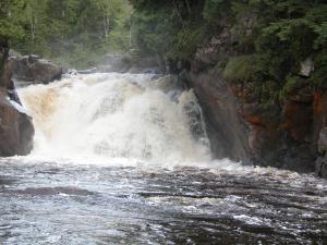 May 2006 |
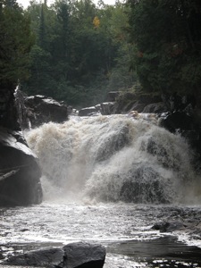 September 2009 |
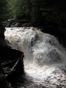 September 2009 |
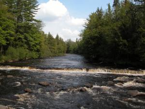 The River above the Falls |
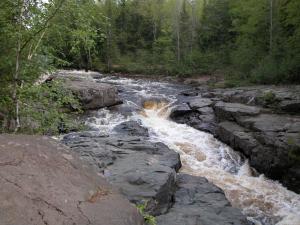 The Chute before the Falls |
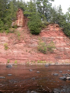 The gorge below the falls |
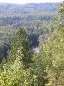 View from an overlook |
This page has been accessed
109658 times.
Last Modified:
Sunday, 20-Sep-2009 10:38:59 MDT.


