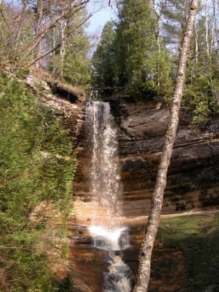
Munising Falls is in Munising, off of H-58. From downtown Munising, head east on H-58. Take a left on Sand Point Rd. There is a sign. At the falls there is a parking area, and restrooms. It is a short walk to the falls.
In winter Munising Falls freezes, forming an ice column. It is off limit to climbers, but there are ice curtains and other waterfalls in the area that freeze over in the winter. Munising is a very popular destination among the ice climbing crowd. The ice formations are very interesting even if you do not climb them.
Here is a short movie of Munising Falls.
[Lake Superior] [Alger County] Nearby Falls
Tannery Falls and MNA Memorial Falls are both in Munising. Wagner Falls is just south of Munising, and Autrain Falls is a few miles beyond that. Miners Falls, Chapel Falls, Spray Falls, Mosquito Falls, Bridal Veil Falls, Potato Patch Falls, and Sable Falls can all be found in the Pictured Rocks National Lakeshore. This map shows the location of most of the nearby falls.
Photo Gallery
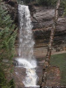 May 2004 |
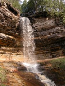 May 2004 |
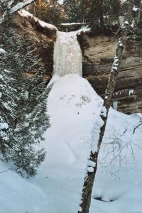 February 2003 |
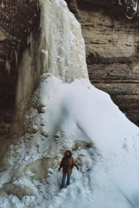 February 2003 |
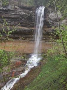 May 2005 |
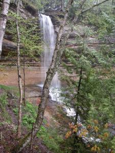 May 2005 |
This page has been accessed
144056 times.
Last Modified:
Tuesday, 04-Jul-2017 20:57:42 MDT.


