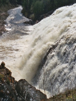
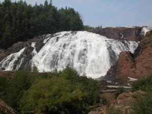
High Falls (also known as the Scenic High Falls of the Magpie and Magpie Falls) is just south of Wawa, off of Highway 17. There are signs, which say "Scenic High Falls". A 1.5 mile gravel road leads to the bottom of the falls.
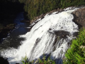
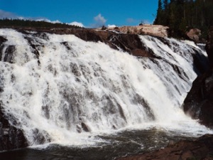
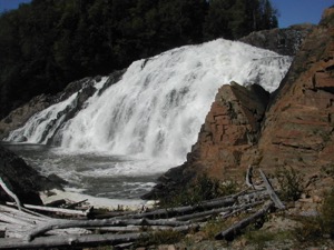
This is a wide and impressive waterfall. There is a parking area, and a nice viewing area. You can get right down to the base of the falls. There is a path to the right up to the top of the falls. When I was there the very top was roped off, I imagine for safety reasons, although you could duck under the ropes. There is a dam here. You can see part of the dam at the very top of the falls, but they designed it be esthetically pleasing.
There are two other dams on the Magpie River: Steephill Falls Dam, and Mission Falls Dam. The Steephill Falls Dam is upstream of High Falls. From the looks of it this was once an impressive waterfall but the dam has all but obliterated it. The dam can be reached from Steephill Falls Dam Road which intersects with Hwy 17 north of Wawa. I am not sure where Mission Falls is, but it may be the upper Silver Falls.
Here is a short movie of High Falls.
[Lake Superior] Nearby Falls
The Silver Falls are a two hour hike away down the Voyageur Trail. The Sand River Falls Gargantua Falls, Baldhead River Falls and Agawa Falls are in Lake Superior Provincial Park. High Falls is part of the Lake Superior WaterFall Tour.
Photo Gallery
 September 2011 |
 August 2002 |
 May 2003 |
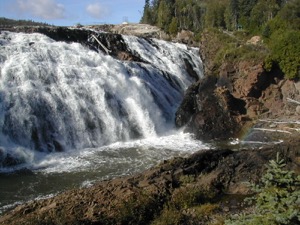 August 2002 |
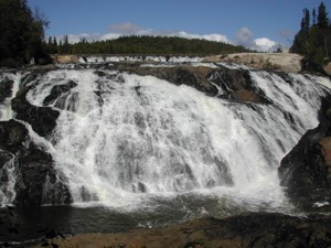 August 2002 |
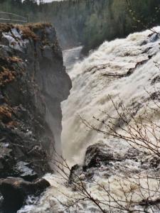 May 2003 |
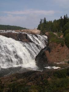 September 2004 |
 September 2004 |
This page has been accessed
83509 times.
Last Modified:
Saturday, 08-Apr-2017 18:47:31 MDT.


