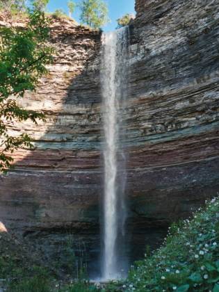
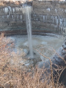
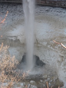
Devil's Punchbowl Falls is in the Hamilton area, located appropriately enough at the Devil's Punchbowl Conservation Area. Like other falls in the area, it dries up, but when it has water it is quite impressive.
There is a platform which gives you a nice view of Hamilton. From here, a trail descends down into the gorge. The first half is quite steep, but the second half is a stairway. The trail then works its way up the creek to the base of the falls. Along the way you will pass the 20 foot high lower Devil's Punchbowl falls.
The bottom of the punchbowl is very interesting, and may be worth visiting even if the falls are dry.
To reach the falls from the QEW, take exit 8 and head north on Centennial Parkway. When you reach the top of the escarpment, take a left onto Ridge Rd. The parking lot for the falls will be on the left, just past the bridge over the creek. There is a railroad track at the mouth of the gorge. The Bruce Trail follows the tracks east. Judging by the maps it looks like you could drive close to where Stoney Creek goes under the tracks. I am not sure if this would work, but if it did it could save you a lot of climbing.
[Hamilton Area] Nearby Falls
Webster Falls and Tews Falls are a short drive away. Albion Falls, and Felker Falls are both in the Hamilton area.
Photo Gallery
 |
 |
 |
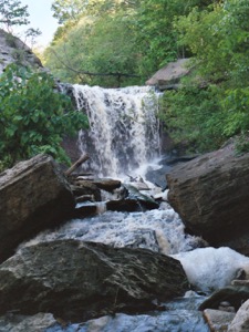 Lower Falls |
 January 2005 |
 |
This page has been accessed
114186 times.
Last Modified:
Monday, 17-Apr-2017 19:11:34 MDT.


