


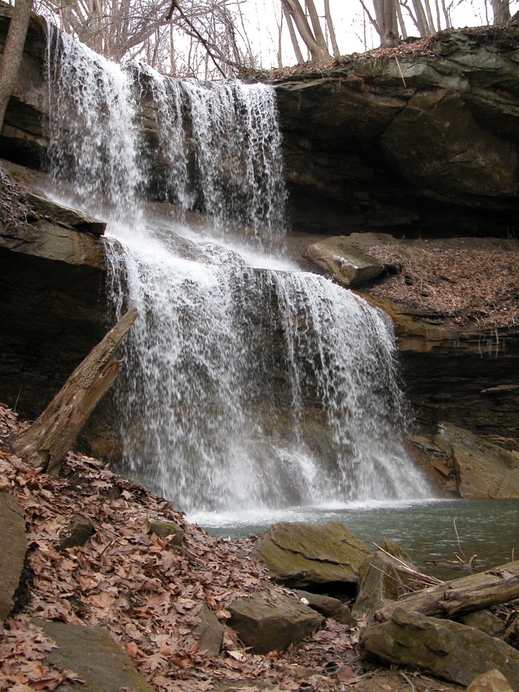
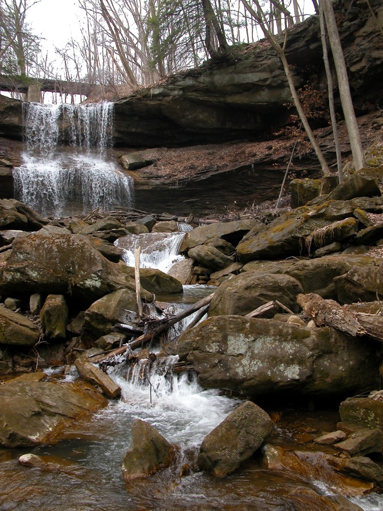
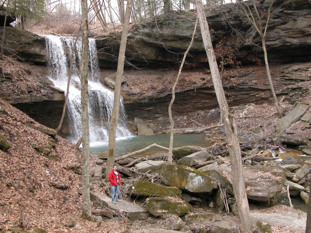
Quakertown Falls is located in Lawrence County along side US 224, less than a mile east of the Ohio border. The road crosses the creek upstream of the falls, so the waterfall is not visible from the road, but a short, if steep, walk will take you to the base of the falls. There are no official trails here, but there is a wide shoulder on the north side of the highway where you can park, and it is easy to see the different routes people take down to the falls. You can also easily walk up to the brink of the falls.
I do no know the name of the stream the falls are on. My guess is that it is called Quakertown Creek. I also do not know how seasonal the creek is. It had a nice steady flow in March 2009. Like most waterfalls, this one is probably best seen in the spring.
There is also an abandoned railroad bridge above the falls, and abandoned tracks on the south side of the road. Maps of the area can be misleading because they imply that you will cross the tracks just before reaching the falls, but the tracks no longer cross the road.
Nearby Falls
If you continue east on US 422 for another 12 miles, you will find Big Run Falls. Sheepskin Hollow Falls is 24 miles to the south. One of Pennylvania's several Buttermilk Falls is about 30 miles to the south east.
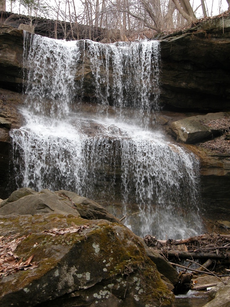
Photo Gallery
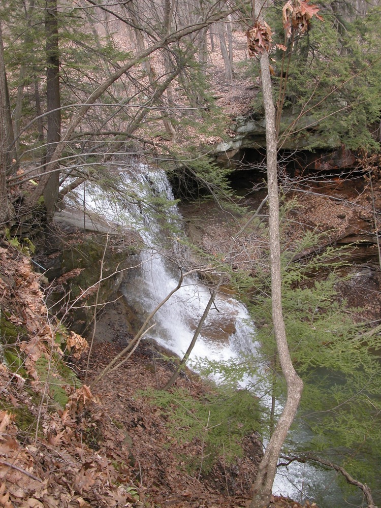 View from the rim |
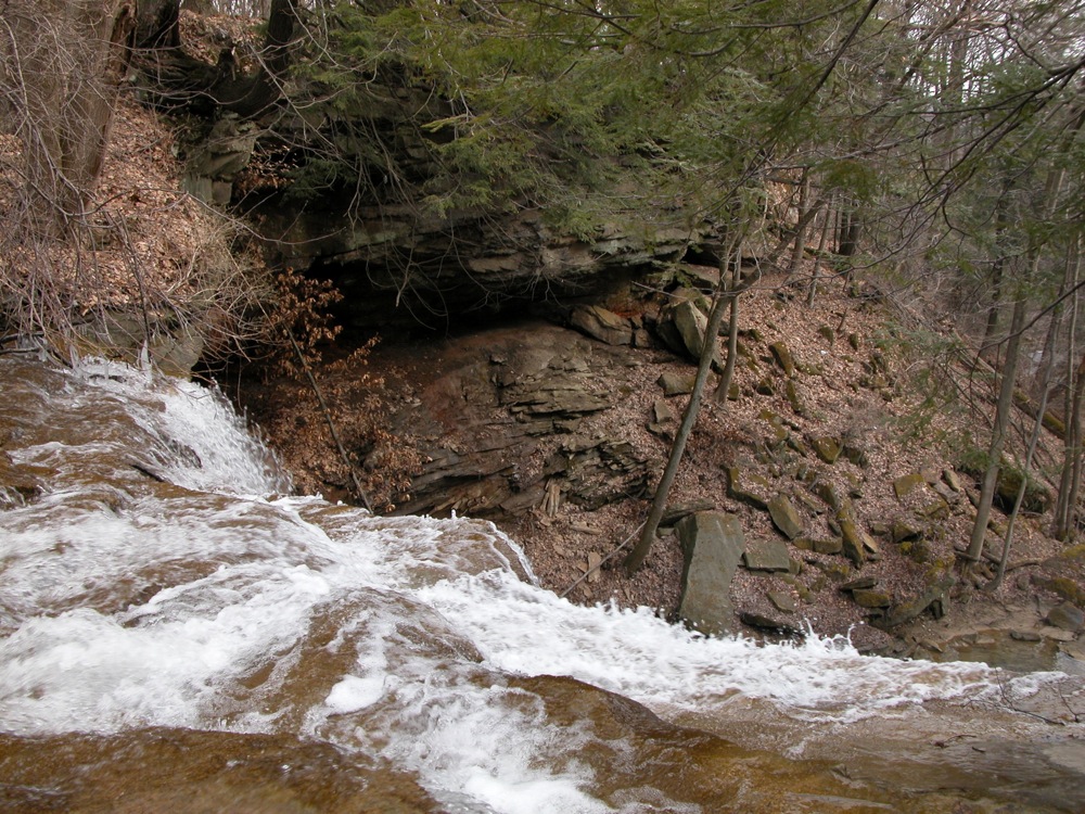 View from the brink |
 |
 |
 |
 |
This page has been accessed
83595 times.
Last Modified:
Sunday, 19-May-2013 20:41:30 MDT.