


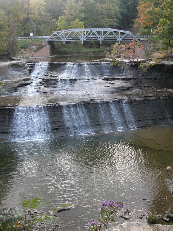
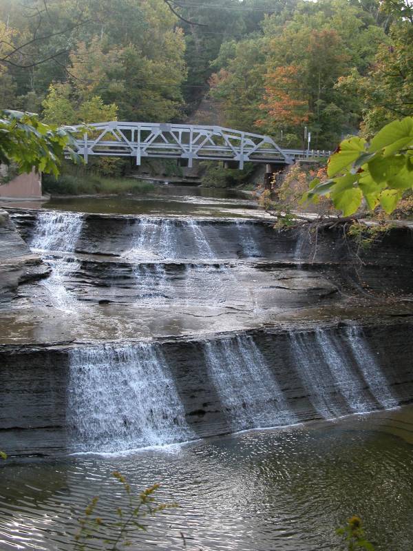
Paine Falls is about 5 miles south east of Painesville Ohio. It is located in a small metro park. The park includes restrooms, grills and a picnic area. There is also a trail that skirts the rim of the gorge along which some nice views of the falls are available. For your own safety, several signs warn you to stay on the trails and threaten you with fines and trespassing if you leave the trails.
The falls are located in a nice hilly piece of farm country. The I-90 overpass is visible from the park, but otherwise the area is fairly rustic.
To reach the falls take the Vrooman Road Exit (exit 205) from I-90. Head south for 1/2 mile to Carter Road. Turn left (east) on Carter Road for about two miles to Paine Road and turn left (north). Carter Road ends at Paine road. The park is a half mile beyond that on the left, just past the bridge. Be careful. The bridge is narrow and on a curve.
This falls used to be called Bakers Falls. It was renamed Paine Falls in 1974 when the park was created.
[Cleveland Area] Nearby Falls
The many Cleveland area falls are 40 miles to the west.
Other Websites
Photo Gallery
 |
 |
This page has been accessed
80778 times.
Last Modified:
Saturday, 26-Nov-2011 14:04:49 MST.