


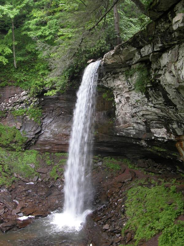
Lower Hill Creek Falls is in the Monongahela National Forest, near Marlinton, West Virginia. The Falls of Hill Creek Scenic Area can be reached from the Highland Scenic Byway (Route 39/55). They are about 5 miles west of Route 219.
There is a well groomed trail into the gorge. Part of the trail is paved, but the later part consists of boardwalks and a lot of stairs. The trail first takes you pass the Upper Falls, then the Middle Falls before ending at a view platform in front of the lower falls.
This page has been accessed
79501 times.
Last Modified:
Thursday, 24-Sep-2009 21:50:52 MDT.